Area Overview for BN16 3RH
Photos of BN16 3RH
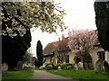
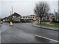
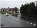
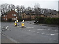
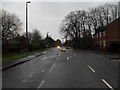
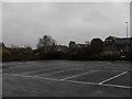
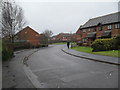
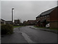
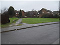
100 photos from this area
Area Information
Key information about the BN16 3RH including its size, population, and administrative classification.
- Area Type
- Postcode
- Area Size
- 1.0 hectares
- Population
- Not available
- Population Density
- Not available
House Prices in BN16 3RH
25
Properties
£155,063
Average Sold Price
£10,050
Lowest Price
£320,000
Highest Price
Showing 25 properties
| Address | Type | Beds | Baths | Last Sale Price | Last Sale Date | |
|---|---|---|---|---|---|---|
| 10 Winchester Road, Rustington, BN16 3RH | house | - | - | £320,000 | Mar 2025 | |
| 11 Winchester Road, Rustington, BN16 3RH | house | - | - | £266,000 | May 2021 | |
| 26 Winchester Road, Rustington, BN16 3RH | Terraced | 3 | 1 | £252,000 | Apr 2021 | |
| 18 Winchester Road, Rustington, BN16 3RH | Terraced | 3 | 1 | £245,000 | Jan 2020 | |
| 21 Winchester Road, Rustington, BN16 3RH | house | - | - | £260,000 | Aug 2018 | |
| 22 Winchester Road, Rustington, BN16 3RH | house | - | - | £238,000 | Sep 2017 | |
| 14 Winchester Road, Rustington, BN16 3RH | Terraced | - | - | £10,050 | Jul 2016 | |
| 9 Winchester Road, Rustington, BN16 3RH | Semi-detached | 3 | 1 | £133,500 | Mar 2013 | |
| 3 Winchester Road, Rustington, BN16 3RH | Semi-detached | 2 | 1 | £160,000 | Jun 2012 | |
| 17 Winchester Road, Rustington, BN16 3RH | house | 3 | 1 | £134,500 | Feb 2005 |
Page 1 of 3
Energy Efficiency in BN16 3RH
Amenities
Schools
| Rank | School | Type | Entry gender | Ages |
|---|
Explore more schools in this area
Go to Schools tabDemographics
Household Size
One person
most common
Accommodation Type
Houses
most common
Tenure
57
majority
Ethnic Group
White
most common
Religion
N/A
most common
Household Composition
N/A
most common
Age
47
median
Adults (30-64 years)
most common
Household Deprivation
N/A
with no deprivation
NS-SEC
26
in Lower managerial occupations
Explore more demographic insights in this area
Go to Demographics tabPlanning
Planning Constraints
- Flood RiskPremium
- Ramsar Wetland SitesPremium
- Area of Outstanding Natural BeautyPremium
- Protected Nature ReservePremium
- Protected WoodlandPremium