Area Overview for BN16 2PG
Photos of BN16 2PG
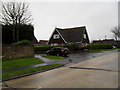
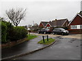
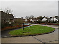
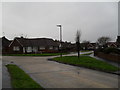
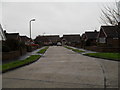
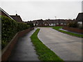
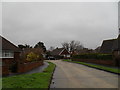
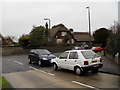
52 photos from this area
Area Information
Key information about the BN16 2PG including its size, population, and administrative classification.
- Area Type
- Postcode
- Area Size
- 1.4 hectares
- Population
- Not available
- Population Density
- Not available
House Prices in BN16 2PG
32
Properties
£251,014
Average Sold Price
£79,950
Lowest Price
£525,000
Highest Price
Showing 32 properties
| Address | Type | Beds | Baths | Last Sale Price | Last Sale Date | |
|---|---|---|---|---|---|---|
| 56 Chaucer Avenue, Rustington, BN16 2PG | Bungalow | 2 | 2 | £418,000 | Nov 2024 | |
| 93 Chaucer Avenue, Rustington, BN16 2PG | Bungalow | 3 | 1 | £525,000 | Oct 2024 | |
| 65 Chaucer Avenue, Rustington, BN16 2PG | Bungalow | - | - | £300,000 | Jun 2023 | |
| 77 Chaucer Avenue, Rustington, BN16 2PG | Bungalow | 1 | 1 | £360,000 | Nov 2022 | |
| 75 Chaucer Avenue, Rustington, BN16 2PG | Semi-detached | 2 | 1 | £328,000 | Mar 2022 | |
| 54 Chaucer Avenue, Rustington, BN16 2PG | Semi-detached | 3 | 2 | £281,000 | Jan 2021 | |
| 48 Chaucer Avenue, Rustington, BN16 2PG | Bungalow | 2 | - | £275,000 | Sep 2020 | |
| 62 Chaucer Avenue, Rustington, BN16 2PG | Semi-detached | 2 | 1 | £326,000 | Jul 2017 | |
| 40 Chaucer Avenue, Rustington, BN16 2PG | Semi-detached | 1 | - | £272,000 | Mar 2017 | |
| 95 Chaucer Avenue, Rustington, BN16 2PG | Bungalow | - | - | £320,000 | Sep 2016 |
Page 1 of 4
Energy Efficiency in BN16 2PG
Amenities
Schools
| Rank | School | Type | Entry gender | Ages |
|---|
Explore more schools in this area
Go to Schools tabDemographics
Household Size
Two person
most common
Accommodation Type
Houses
most common
Tenure
88
majority
Ethnic Group
White
most common
Religion
N/A
most common
Household Composition
N/A
most common
Age
47
median
Elderly (65+ years)
most common
Household Deprivation
N/A
with no deprivation
NS-SEC
34
in Lower managerial occupations
Explore more demographic insights in this area
Go to Demographics tabPlanning
Planning Constraints
- Flood RiskPremium
- Ramsar Wetland SitesPremium
- Area of Outstanding Natural BeautyPremium
- Protected Nature ReservePremium
- Protected WoodlandPremium