Area Overview for BN15 9UX
Photos of BN15 9UX
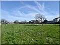
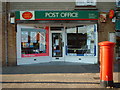
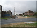
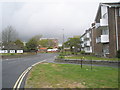
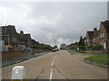
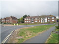
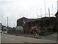
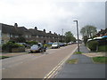
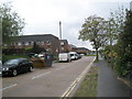
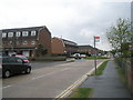
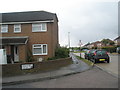
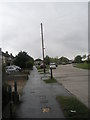
100 photos from this area
Area Information
Key information about the BN15 9UX including its size, population, and administrative classification.
- Area Type
- Postcode
- Area Size
- 1.9 hectares
- Population
- 1456
- Population Density
- 4997 people/km²
House Prices in BN15 9UX
42
Properties
£250,039
Average Sold Price
£102,000
Lowest Price
£375,000
Highest Price
Showing 42 properties
| Address | Type | Beds | Baths | Last Sale Price | Last Sale Date | |
|---|---|---|---|---|---|---|
| 3 Western Road North, Sompting, BN15 9UX | Semi-detached | 2 | 1 | £364,750 | Sep 2025 | |
| 21 Western Road North, Sompting, BN15 9UX | Bungalow | 2 | 1 | £375,000 | Aug 2024 | |
| 32 Western Road North, Sompting, BN15 9UX | Bungalow | 2 | 1 | £277,500 | Mar 2024 | |
| 35 Western Road North, Sompting, BN15 9UX | Bungalow | 2 | 1 | £320,000 | Jul 2023 | |
| 8 Western Road North, Sompting, BN15 9UX | Bungalow | 2 | - | £280,000 | Dec 2022 | |
| 37 Western Road North, Sompting, BN15 9UX | Bungalow | 2 | 1 | £355,000 | Aug 2022 | |
| 26 Western Road North, Sompting, BN15 9UX | Bungalow | 2 | 1 | £347,500 | May 2022 | |
| 30 Western Road North, Sompting, BN15 9UX | Bungalow | 2 | 1 | £362,000 | Feb 2022 | |
| 2A Western Road North, Sompting, BN15 9UX | Bungalow | 2 | 1 | £340,000 | Aug 2019 | |
| 28 Western Road North, Sompting, BN15 9UX | Bungalow | 2 | 1 | £292,000 | Nov 2018 |
Page 1 of 5
Energy Efficiency in BN15 9UX
Amenities
Schools
| Rank | School | Type | Entry gender | Ages |
|---|
Explore more schools in this area
Go to Schools tabDemographics
Household Size
Two person
most common
Accommodation Type
Houses
most common
Tenure
84
majority
Ethnic Group
White
most common
Religion
N/A
most common
Household Composition
N/A
most common
Age
47
median
Adults (30-64 years)
most common
Household Deprivation
N/A
with no deprivation
NS-SEC
30
in Lower managerial occupations
Explore more demographic insights in this area
Go to Demographics tabPlanning
Planning Constraints
- Flood RiskPremium
- Ramsar Wetland SitesPremium
- Area of Outstanding Natural BeautyPremium
- Protected Nature ReservePremium
- Protected WoodlandPremium