Area Overview for BN15 9SJ
Photos of BN15 9SJ
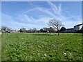
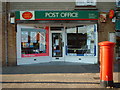
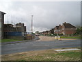
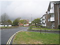
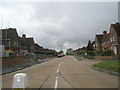
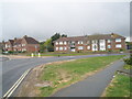
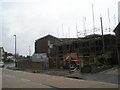
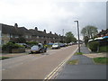
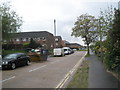
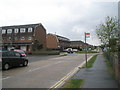
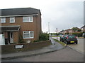
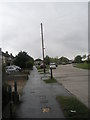
100 photos from this area
Area Information
Key information about the BN15 9SJ including its size, population, and administrative classification.
- Area Type
- Postcode
- Area Size
- 8578 m²
- Population
- 1538
- Population Density
- 1441 people/km²
House Prices in BN15 9SJ
17
Properties
£342,367
Average Sold Price
£150,500
Lowest Price
£460,000
Highest Price
Showing 17 properties
| Address | Type | Beds | Baths | Last Sale Price | Last Sale Date | |
|---|---|---|---|---|---|---|
| 95 Cokeham Lane, Sompting, BN15 9SJ | Detached | 3 | 1 | £395,000 | Dec 2025 | |
| 73 Cokeham Lane, Sompting, BN15 9SJ | house | - | - | £460,000 | Dec 2021 | |
| 82 Cokeham Lane, Sompting, BN15 9SJ | Bungalow | - | - | £435,000 | May 2021 | |
| 94 Cokeham Lane, Sompting, BN15 9SJ | Detached | 3 | - | £442,500 | Apr 2021 | |
| 89 Cokeham Lane, Sompting, BN15 9SJ | Cottage | 3 | 2 | £425,000 | May 2020 | |
| 98 Cokeham Lane, Sompting, BN15 9SJ | Detached | 4 | 2 | £442,500 | Mar 2020 | |
| 90 Cokeham Lane, Sompting, BN15 9SJ | Bungalow | - | - | £325,000 | May 2016 | |
| 98A Cokeham Lane, Sompting, BN15 9SJ | Bungalow | 3 | 1 | £260,000 | Mar 2016 | |
| 84 Cokeham Lane, Sompting, BN15 9SJ | Detached | 5 | - | £339,950 | Nov 2014 | |
| 96 Cokeham Lane, Sompting, BN15 9SJ | Detached | - | - | £234,950 | Jun 2007 |
Page 1 of 2
Energy Efficiency in BN15 9SJ
Amenities
Schools
| Rank | School | Type | Entry gender | Ages |
|---|
Explore more schools in this area
Go to Schools tabDemographics
Household Size
Two person
most common
Accommodation Type
Houses
most common
Tenure
78
majority
Ethnic Group
White
most common
Religion
N/A
most common
Household Composition
N/A
most common
Age
47
median
Adults (30-64 years)
most common
Household Deprivation
N/A
with no deprivation
NS-SEC
26
in Lower managerial occupations
Explore more demographic insights in this area
Go to Demographics tabPlanning
Planning Constraints
- Flood RiskPremium
- Ramsar Wetland SitesPremium
- Area of Outstanding Natural BeautyPremium
- Protected Nature ReservePremium
- Protected WoodlandPremium