Area Overview for BN15 9LG
Photos of BN15 9LG
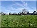
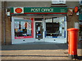
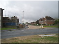
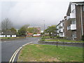
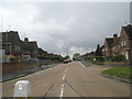
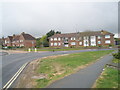
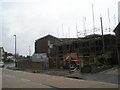
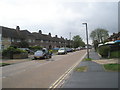
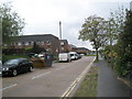
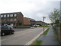
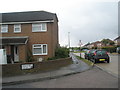
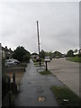
100 photos from this area
Area Information
Key information about the BN15 9LG including its size, population, and administrative classification.
- Area Type
- Postcode
- Area Size
- 2589 m²
- Population
- 1471
- Population Density
- 4630 people/km²
House Prices in BN15 9LG
15
Properties
£135,738
Average Sold Price
£68,000
Lowest Price
£255,000
Highest Price
Showing 15 properties
| Address | Type | Beds | Baths | Last Sale Price | Last Sale Date | |
|---|---|---|---|---|---|---|
| 101 Sompting Road, Lancing, BN15 9LG | Terraced | 3 | 1 | £255,000 | Sep 2017 | |
| 107A Sompting Road, Lancing, BN15 9LG | Flat | - | - | £99,950 | Jun 2006 | |
| 107 Sompting Road, Lancing, BN15 9LG | Flat | - | - | £120,000 | Aug 2005 | |
| 99 Sompting Road, Lancing, BN15 9LG | Retail | 3 | 1 | £68,000 | May 1999 | |
| Ground Floor Flat, 105 Sompting Road, Lancing, BN15 9LG | Flat | 1 | 1 | - | - | |
| 109C Sompting Road, Lancing, BN15 9LG | Flat | 1 | 1 | - | - | |
| 109B Sompting Road, Lancing, BN15 9LG | Flat | - | - | - | - | |
| 109A Sompting Road, Lancing, BN15 9LG | Flat | - | - | - | - | |
| 113 Sompting Road, Lancing, BN15 9LG | Semi-detached | - | - | - | - | |
| 115 Sompting Road, Lancing, BN15 9LG | Semi-detached | 3 | 2 | - | - |
Page 1 of 2
Energy Efficiency in BN15 9LG
Amenities
Schools
| Rank | School | Type | Entry gender | Ages |
|---|
Explore more schools in this area
Go to Schools tabDemographics
Household Size
One person
most common
Accommodation Type
Houses
most common
Tenure
51
majority
Ethnic Group
White
most common
Religion
N/A
most common
Household Composition
N/A
most common
Age
47
median
Adults (30-64 years)
most common
Household Deprivation
N/A
with no deprivation
NS-SEC
22
in Lower managerial occupations
Explore more demographic insights in this area
Go to Demographics tabPlanning
Planning Constraints
- Flood RiskPremium
- Ramsar Wetland SitesPremium
- Area of Outstanding Natural BeautyPremium
- Protected Nature ReservePremium
- Protected WoodlandPremium