Area Overview for BN15 9JB
Photos of BN15 9JB
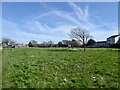
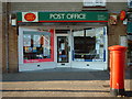
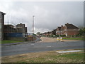
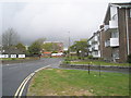
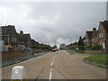
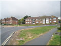
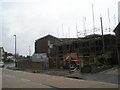
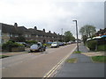
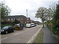
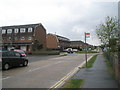
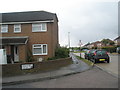
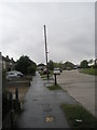
100 photos from this area
Area Information
Key information about the BN15 9JB including its size, population, and administrative classification.
- Area Type
- Postcode
- Area Size
- 1.2 hectares
- Population
- 1471
- Population Density
- 4630 people/km²
House Prices in BN15 9JB
32
Properties
£226,505
Average Sold Price
£58,500
Lowest Price
£450,000
Highest Price
Showing 32 properties
| Address | Type | Beds | Baths | Last Sale Price | Last Sale Date | |
|---|---|---|---|---|---|---|
| 20 Leconfield Road, Lancing, BN15 9JB | Detached | 4 | 1 | £420,000 | May 2024 | |
| 15A Leconfield Road, Lancing, BN15 9JB | Flat | - | - | £154,000 | Mar 2024 | |
| 30 Leconfield Road, Lancing, BN15 9JB | Bungalow | 4 | 2 | £450,000 | Jan 2023 | |
| 18 Leconfield Road, Lancing, BN15 9JB | Detached | 3 | 1 | £349,000 | Oct 2019 | |
| 38 Leconfield Road, Lancing, BN15 9JB | Bungalow | 3 | 1 | £260,000 | Aug 2019 | |
| 16 Leconfield Road, Lancing, BN15 9JB | house | - | - | £260,000 | Mar 2018 | |
| 13 Leconfield Road, Lancing, BN15 9JB | Detached | 3 | - | £295,000 | Apr 2016 | |
| 27 Leconfield Road, Lancing, BN15 9JB | Terraced | 3 | - | £230,000 | Nov 2015 | |
| 17 Leconfield Road, Lancing, BN15 9JB | house | - | - | £285,000 | May 2015 | |
| 36 Leconfield Road, Lancing, BN15 9JB | Bungalow | 3 | - | £250,000 | Oct 2014 |
Page 1 of 4
Energy Efficiency in BN15 9JB
Amenities
Schools
| Rank | School | Type | Entry gender | Ages |
|---|
Explore more schools in this area
Go to Schools tabDemographics
Household Size
One person
most common
Accommodation Type
Houses
most common
Tenure
51
majority
Ethnic Group
White
most common
Religion
N/A
most common
Household Composition
N/A
most common
Age
47
median
Adults (30-64 years)
most common
Household Deprivation
N/A
with no deprivation
NS-SEC
22
in Lower managerial occupations
Explore more demographic insights in this area
Go to Demographics tabPlanning
Planning Constraints
- Flood RiskPremium
- Ramsar Wetland SitesPremium
- Area of Outstanding Natural BeautyPremium
- Protected Nature ReservePremium
- Protected WoodlandPremium