Area Overview for BN15 9DQ
Photos of BN15 9DQ
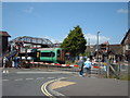
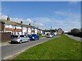
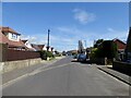
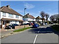
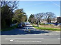
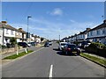
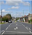
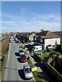
100 photos from this area
Area Information
Key information about the BN15 9DQ including its size, population, and administrative classification.
- Area Type
- Postcode
- Area Size
- 1.4 hectares
- Population
- Not available
- Population Density
- Not available
House Prices in BN15 9DQ
30
Properties
£226,734
Average Sold Price
£59,000
Lowest Price
£382,500
Highest Price
Showing 30 properties
| Address | Type | Beds | Baths | Last Sale Price | Last Sale Date | |
|---|---|---|---|---|---|---|
| 6 Barfield Park, Lancing, BN15 9DQ | Bungalow | 2 | 1 | £325,000 | Aug 2023 | |
| 4 Barfield Park, Lancing, BN15 9DQ | Semi-detached | 3 | 1 | £378,000 | Aug 2023 | |
| 18 Barfield Park, Lancing, BN15 9DQ | Bungalow | 2 | 1 | £360,000 | Jan 2023 | |
| 16 Barfield Park, Lancing, BN15 9DQ | Semi-detached | 3 | 1 | £350,000 | Feb 2022 | |
| 12 Barfield Park, Lancing, BN15 9DQ | Semi-detached | 3 | - | £335,000 | May 2021 | |
| 7 Barfield Park, Lancing, BN15 9DQ | Semi-detached | 4 | 2 | £382,500 | Nov 2020 | |
| 82 Barfield Park, Lancing, BN15 9DQ | Bungalow | 3 | 1 | £303,000 | Aug 2020 | |
| 7A Barfield Park, Lancing, BN15 9DQ | Bungalow | 2 | 1 | £272,000 | Aug 2020 | |
| 83 Barfield Park, Lancing, BN15 9DQ | Bungalow | 3 | 1 | £335,000 | Mar 2020 | |
| 80 Barfield Park, Lancing, BN15 9DQ | Bungalow | 2 | 1 | £288,250 | Dec 2019 |
Page 1 of 3
Energy Efficiency in BN15 9DQ
Amenities
Schools
| Rank | School | Type | Entry gender | Ages |
|---|
Explore more schools in this area
Go to Schools tabDemographics
Household Size
Two person
most common
Accommodation Type
Houses
most common
Tenure
64
majority
Ethnic Group
White
most common
Religion
N/A
most common
Household Composition
N/A
most common
Age
47
median
Adults (30-64 years)
most common
Household Deprivation
N/A
with no deprivation
NS-SEC
26
in Lower managerial occupations
Explore more demographic insights in this area
Go to Demographics tabPlanning
Planning Constraints
- Flood RiskPremium
- Ramsar Wetland SitesPremium
- Area of Outstanding Natural BeautyPremium
- Protected Nature ReservePremium
- Protected WoodlandPremium