Area Overview for BN15 8LE
Photos of BN15 8LE

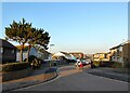
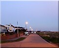
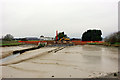
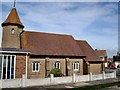
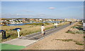
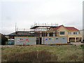
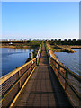
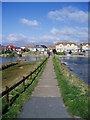
100 photos from this area
Area Information
Key information about the BN15 8LE including its size, population, and administrative classification.
- Area Type
- Postcode
- Area Size
- 2.1 hectares
- Population
- 1390
- Population Density
- 1743 people/km²
House Prices in BN15 8LE
32
Properties
£229,514
Average Sold Price
£91,000
Lowest Price
£327,000
Highest Price
Showing 32 properties
| Address | Type | Beds | Baths | Last Sale Price | Last Sale Date | |
|---|---|---|---|---|---|---|
| 3 Wenceling Cottages, Lancing, BN15 8LE | Terraced | 2 | 1 | £293,500 | May 2024 | |
| 8 Wenceling Cottages, Lancing, BN15 8LE | Flat | 1 | 1 | £141,000 | Apr 2023 | |
| 20 Wenceling Cottages, Lancing, BN15 8LE | Retail | 2 | 1 | £310,000 | Oct 2022 | |
| 6 Wenceling Cottages, Lancing, BN15 8LE | Flat | 1 | 1 | £175,100 | Dec 2021 | |
| 27 Wenceling Cottages, Lancing, BN15 8LE | house | - | - | £327,000 | Jun 2021 | |
| 30 Wenceling Cottages, Lancing, BN15 8LE | Flat | 2 | 1 | £269,000 | Dec 2018 | |
| 10 Wenceling Cottages, Lancing, BN15 8LE | Flat | - | - | £91,000 | Jul 2011 | |
| 31 Wenceling Cottages, Lancing, BN15 8LE | Flat | 2 | 1 | - | - | |
| 2 Wenceling Cottages, Lancing, BN15 8LE | Flat | 1 | 1 | - | - | |
| 22 Wenceling Cottages, Lancing, BN15 8LE | Flat | 3 | 1 | - | - |
Page 1 of 4
Energy Efficiency in BN15 8LE
Amenities
Schools
| Rank | School | Type | Entry gender | Ages |
|---|
Explore more schools in this area
Go to Schools tabDemographics
Household Size
Two person
most common
Accommodation Type
Houses
most common
Tenure
83
majority
Ethnic Group
White
most common
Religion
N/A
most common
Household Composition
N/A
most common
Age
47
median
Adults (30-64 years)
most common
Household Deprivation
N/A
with no deprivation
NS-SEC
29
in Lower managerial occupations
Explore more demographic insights in this area
Go to Demographics tabPlanning
Planning Constraints
- Flood RiskPremium
- Ramsar Wetland SitesPremium
- Area of Outstanding Natural BeautyPremium
- Protected Nature ReservePremium
- Protected WoodlandPremium