Area Overview for BN15 0GN
Photos of BN15 0GN
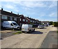
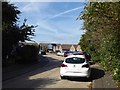
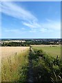
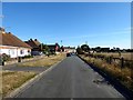
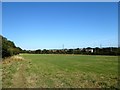
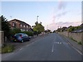
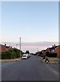
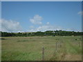
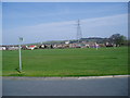
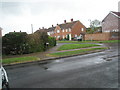
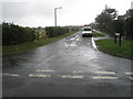
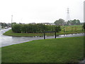
100 photos from this area
Area Information
Key information about the BN15 0GN including its size, population, and administrative classification.
- Area Type
- Postcode
- Area Size
- 2.8 hectares
- Population
- 1345
- Population Density
- 215 people/km²
House Prices in BN15 0GN
18
Properties
£307,772
Average Sold Price
£196,500
Lowest Price
£540,000
Highest Price
Showing 18 properties
| Address | Type | Beds | Baths | Last Sale Price | Last Sale Date | |
|---|---|---|---|---|---|---|
| 1 Street Barn, Sompting, BN15 0GN | Bungalow | 2 | 2 | £412,000 | Jul 2024 | |
| 15 Street Barn, Sompting, BN15 0GN | house | - | - | £300,000 | Jun 2021 | |
| 13 Street Barn, Sompting, BN15 0GN | Semi-detached | 3 | 2 | £540,000 | Jun 2021 | |
| 17 Street Barn, Sompting, BN15 0GN | Detached | 3 | 3 | £395,000 | Apr 2021 | |
| 5 Street Barn, Sompting, BN15 0GN | Semi-detached | 3 | 2 | £350,000 | Sep 2019 | |
| 2 Street Barn, Sompting, BN15 0GN | Semi-detached | 3 | 2 | £390,000 | Mar 2019 | |
| 16 Street Barn, Sompting, BN15 0GN | Terraced | 2 | 1 | £270,000 | Jan 2017 | |
| 11 Street Barn, Sompting, BN15 0GN | Terraced | 3 | - | £300,000 | Jan 2016 | |
| 4 Street Barn, Sompting, BN15 0GN | Semi-detached | 3 | 2 | £300,000 | Oct 2014 | |
| 7 Street Barn, Sompting, BN15 0GN | house | - | - | £227,500 | Jan 2010 |
Page 1 of 2
Energy Efficiency in BN15 0GN
Amenities
Schools
| Rank | School | Type | Entry gender | Ages |
|---|
Explore more schools in this area
Go to Schools tabDemographics
Household Size
Family (3-5 people)
most common
Accommodation Type
Houses
most common
Tenure
82
majority
Ethnic Group
White
most common
Religion
N/A
most common
Household Composition
N/A
most common
Age
47
median
Adults (30-64 years)
most common
Household Deprivation
N/A
with no deprivation
NS-SEC
31
in Lower managerial occupations
Explore more demographic insights in this area
Go to Demographics tabPlanning
Planning Constraints
- Flood RiskPremium
- Ramsar Wetland SitesPremium
- Area of Outstanding Natural BeautyPremium
- Protected Nature ReservePremium
- Protected WoodlandPremium