Area Overview for BN14 7LU
Photos of BN14 7LU
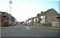
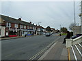
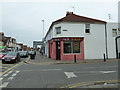
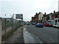
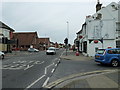
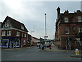
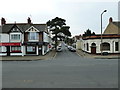
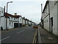
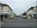
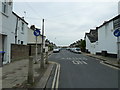
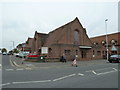
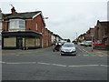
100 photos from this area
Area Information
Key information about the BN14 7LU including its size, population, and administrative classification.
- Area Type
- Postcode
- Area Size
- 3677 m²
- Population
- 1880
- Population Density
- 8902 people/km²
House Prices in BN14 7LU
8
Properties
£209,333
Average Sold Price
£42,000
Lowest Price
£320,000
Highest Price
Showing 8 properties
| Address | Type | Beds | Baths | Last Sale Price | Last Sale Date | |
|---|---|---|---|---|---|---|
| Aldine House, 61 South Street, Tarring, Worthing, BN14 7LU | Semi-detached | - | - | £320,000 | Mar 2016 | |
| 59 South Street, Tarring, Worthing, BN14 7LU | house | 3 | - | £266,000 | Nov 2012 | |
| 55 South Street, Tarring, Worthing, BN14 7LU | Flat | - | - | £42,000 | May 1998 | |
| 49 South Street, Tarring, Worthing, BN14 7LU | Detached | 3 | 1 | - | - | |
| Ground Floor Flat, 51 South Street, Tarring, Worthing, BN14 7LU | Retail | 2 | 1 | - | - | |
| Top Floor Flat, 51 South Street, Tarring, Worthing, BN14 7LU | Flat | 1 | 1 | - | - | |
| The Risings Pre School, West Worthing Baptist Church, 45 South Street, Tarring, Worthing, BN14 7LU | commercial | - | - | - | - | |
| 57 South Street, Tarring, Worthing, BN14 7LU | Flat | - | - | - | - |
Energy Efficiency in BN14 7LU
Amenities
Schools
| Rank | School | Type | Entry gender | Ages |
|---|
Explore more schools in this area
Go to Schools tabDemographics
Household Size
Family (3-5 people)
most common
Accommodation Type
Houses
most common
Tenure
72
majority
Ethnic Group
White
most common
Religion
N/A
most common
Household Composition
N/A
most common
Age
47
median
Adults (30-64 years)
most common
Household Deprivation
N/A
with no deprivation
NS-SEC
40
in Lower managerial occupations
Explore more demographic insights in this area
Go to Demographics tabPlanning
Planning Constraints
- Flood RiskPremium
- Ramsar Wetland SitesPremium
- Area of Outstanding Natural BeautyPremium
- Protected Nature ReservePremium
- Protected WoodlandPremium