Area Overview for BN14 0UN
Photos of BN14 0UN
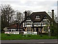
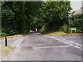
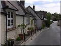
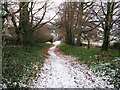

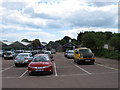
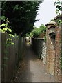
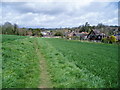
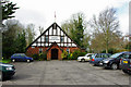
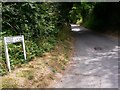
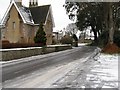
100 photos from this area
Area Information
Key information about the BN14 0UN including its size, population, and administrative classification.
- Area Type
- Postcode
- Area Size
- 7977 m²
- Population
- 1336
- Population Density
- 663 people/km²
House Prices in BN14 0UN
11
Properties
£371,500
Average Sold Price
£230,000
Lowest Price
£475,500
Highest Price
Showing 11 properties
| Address | Type | Beds | Baths | Last Sale Price | Last Sale Date | |
|---|---|---|---|---|---|---|
| 7 Beech Road, Findon, BN14 0UN | house | - | - | £475,500 | Aug 2021 | |
| 10 Beech Road, Findon, BN14 0UN | Bungalow | - | - | £411,000 | Feb 2021 | |
| 4 Beech Road, Findon, BN14 0UN | Bungalow | 2 | 1 | £363,500 | Jun 2020 | |
| 8 Beech Road, Findon, BN14 0UN | Bungalow | 2 | 1 | £320,000 | Oct 2019 | |
| 5 Beech Road, Findon, BN14 0UN | Bungalow | 2 | 1 | £395,000 | Mar 2019 | |
| 12 Beech Road, Findon, BN14 0UN | Bungalow | 2 | 1 | £362,000 | Jul 2018 | |
| St Marys, 3 Beech Road, Findon, BN14 0UN | Bungalow | 3 | 2 | £453,000 | Oct 2017 | |
| 6 Beech Road, Findon, BN14 0UN | Bungalow | 2 | - | £285,000 | Jul 2012 | |
| Valley Croft, 1 Beech Road, Findon, BN14 0UN | Detached | - | - | £230,000 | Jul 2009 | |
| 2 Beech Road, Findon, BN14 0UN | Detached | - | - | £420,000 | Oct 2006 |
Page 1 of 2
Energy Efficiency in BN14 0UN
Amenities
Schools
| Rank | School | Type | Entry gender | Ages |
|---|
Explore more schools in this area
Go to Schools tabDemographics
Household Size
Two person
most common
Accommodation Type
Houses
most common
Tenure
89
majority
Ethnic Group
White
most common
Religion
N/A
most common
Household Composition
N/A
most common
Age
47
median
Adults (30-64 years)
most common
Household Deprivation
N/A
with no deprivation
NS-SEC
46
in Lower managerial occupations
Explore more demographic insights in this area
Go to Demographics tabPlanning
Planning Constraints
- Flood RiskPremium
- Ramsar Wetland SitesPremium
- Area of Outstanding Natural BeautyPremium
- Protected Nature ReservePremium
- Protected WoodlandPremium