Area Overview for BN14 0UE
Photos of BN14 0UE
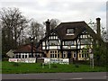
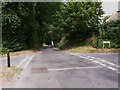
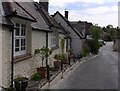
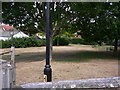
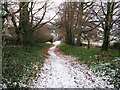
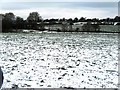
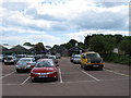
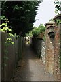
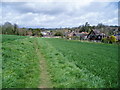
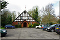
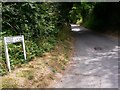
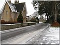
100 photos from this area
Area Information
Key information about the BN14 0UE including its size, population, and administrative classification.
- Area Type
- Postcode
- Area Size
- 2.1 hectares
- Population
- 1336
- Population Density
- 663 people/km²
House Prices in BN14 0UE
29
Properties
£519,250
Average Sold Price
£104,750
Lowest Price
£1,325,000
Highest Price
Showing 29 properties
| Address | Type | Beds | Baths | Last Sale Price | Last Sale Date | |
|---|---|---|---|---|---|---|
| Greenview House, Steep Lane, Findon, BN14 0UE | Detached | 4 | 2 | £1,085,000 | Nov 2024 | |
| 29 Steep Lane, Findon, BN14 0UE | Semi-detached | 4 | 2 | £780,000 | Oct 2024 | |
| 22 Steep Lane, Findon, BN14 0UE | Detached | 3 | 1 | £1,325,000 | Aug 2022 | |
| Whitebeam Cottage, Steep Lane, Findon, BN14 0UE | Detached | 4 | 3 | £980,000 | Jul 2022 | |
| 33 Steep Lane, Findon, BN14 0UE | house | - | - | £575,000 | Apr 2021 | |
| 53 Steep Lane, Findon, BN14 0UE | Bungalow | 2 | 1 | £510,000 | Feb 2019 | |
| 45 Steep Lane, Findon, BN14 0UE | Bungalow | 2 | 1 | £475,000 | Aug 2018 | |
| 41 Steep Lane, Findon, BN14 0UE | Bungalow | - | - | £620,000 | Jul 2018 | |
| 35 Steep Lane, Findon, BN14 0UE | Detached | 4 | 3 | £575,000 | Sep 2017 | |
| 27 Steep Lane, Findon, BN14 0UE | Cottage | 4 | 2 | £542,000 | Apr 2017 |
Page 1 of 3
Energy Efficiency in BN14 0UE
Amenities
Schools
| Rank | School | Type | Entry gender | Ages |
|---|
Explore more schools in this area
Go to Schools tabDemographics
Household Size
Two person
most common
Accommodation Type
Houses
most common
Tenure
89
majority
Ethnic Group
White
most common
Religion
N/A
most common
Household Composition
N/A
most common
Age
47
median
Adults (30-64 years)
most common
Household Deprivation
N/A
with no deprivation
NS-SEC
46
in Lower managerial occupations
Explore more demographic insights in this area
Go to Demographics tabPlanning
Planning Constraints
- Flood RiskPremium
- Ramsar Wetland SitesPremium
- Area of Outstanding Natural BeautyPremium
- Protected Nature ReservePremium
- Protected WoodlandPremium