Area Overview for BN13 3DZ
Photos of BN13 3DZ
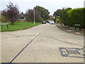
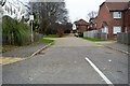
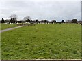
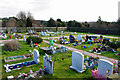
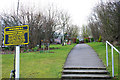
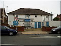

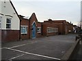
19 photos from this area
Area Information
Key information about the BN13 3DZ including its size, population, and administrative classification.
- Area Type
- Postcode
- Area Size
- 1.3 hectares
- Population
- Not available
- Population Density
- Not available
House Prices in BN13 3DZ
18
Properties
£419,671
Average Sold Price
£108,500
Lowest Price
£740,000
Highest Price
Showing 18 properties
| Address | Type | Beds | Baths | Last Sale Price | Last Sale Date | |
|---|---|---|---|---|---|---|
| 7 Broadview Gardens, Salvington, Worthing, BN13 3DZ | Detached | 4 | 2 | £740,000 | Apr 2025 | |
| 1 Broadview Gardens, Salvington, Worthing, BN13 3DZ | Detached | 3 | 1 | £585,000 | Sep 2023 | |
| 8 Broadview Gardens, Salvington, Worthing, BN13 3DZ | house | - | - | £592,000 | Aug 2018 | |
| 11 Broadview Gardens, Salvington, Worthing, BN13 3DZ | Detached | 4 | 2 | £625,000 | Sep 2017 | |
| Ashcombe Lodge, Broadview Gardens, Salvington, Worthing, BN13 3DZ | Detached | 6 | 3 | £400,000 | Oct 2016 | |
| 3 Broadview Gardens, Salvington, Worthing, BN13 3DZ | Detached | 4 | - | £533,000 | Nov 2014 | |
| 13 Broadview Gardens, Salvington, Worthing, BN13 3DZ | Detached | 4 | 2 | £492,500 | Jun 2014 | |
| 12 Broadview Gardens, Salvington, Worthing, BN13 3DZ | Detached | 3 | 1 | £285,000 | Jun 2011 | |
| 2 Broadview Gardens, Salvington, Worthing, BN13 3DZ | Bungalow | - | - | £310,400 | Jan 2011 | |
| 14 Broadview Gardens, Salvington, Worthing, BN13 3DZ | house | - | - | £396,000 | Nov 2006 |
Page 1 of 2
Energy Efficiency in BN13 3DZ
Amenities
Schools
| Rank | School | Type | Entry gender | Ages |
|---|
Explore more schools in this area
Go to Schools tabDemographics
Household Size
Two person
most common
Accommodation Type
Houses
most common
Tenure
94
majority
Ethnic Group
White
most common
Religion
N/A
most common
Household Composition
N/A
most common
Age
47
median
Adults (30-64 years)
most common
Household Deprivation
N/A
with no deprivation
NS-SEC
40
in Lower managerial occupations
Explore more demographic insights in this area
Go to Demographics tabPlanning
Planning Constraints
- Flood RiskPremium
- Ramsar Wetland SitesPremium
- Area of Outstanding Natural BeautyPremium
- Protected Nature ReservePremium
- Protected WoodlandPremium