Area Overview for BN13 2NA
Photos of BN13 2NA
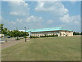
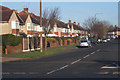
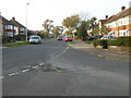
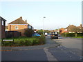
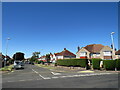
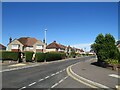
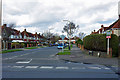
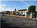
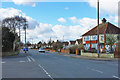
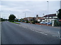
10 photos from this area
Area Information
Key information about the BN13 2NA including its size, population, and administrative classification.
- Area Type
- Postcode
- Area Size
- 1.0 hectares
- Population
- Not available
- Population Density
- Not available
House Prices in BN13 2NA
24
Properties
£203,726
Average Sold Price
£62,500
Lowest Price
£345,000
Highest Price
Showing 24 properties
| Address | Type | Beds | Baths | Last Sale Price | Last Sale Date | |
|---|---|---|---|---|---|---|
| 32 Muirfield Road, Durrington, Worthing, BN13 2NA | Bungalow | 2 | 1 | £345,000 | Feb 2025 | |
| 24 Muirfield Road, Durrington, Worthing, BN13 2NA | Bungalow | - | - | £310,000 | Jan 2021 | |
| 30 Muirfield Road, Durrington, Worthing, BN13 2NA | Bungalow | - | - | £295,000 | Oct 2020 | |
| 42 Muirfield Road, Durrington, Worthing, BN13 2NA | Bungalow | 2 | 1 | £295,000 | Nov 2017 | |
| 43 Muirfield Road, Durrington, Worthing, BN13 2NA | Bungalow | - | - | £259,950 | Jul 2015 | |
| 39 Muirfield Road, Durrington, Worthing, BN13 2NA | Bungalow | 2 | 1 | £220,574 | Nov 2013 | |
| 31 Muirfield Road, Durrington, Worthing, BN13 2NA | Bungalow | 2 | - | £214,000 | Jun 2013 | |
| 36 Muirfield Road, Durrington, Worthing, BN13 2NA | Bungalow | - | - | £210,000 | Apr 2013 | |
| 26 Muirfield Road, Durrington, Worthing, BN13 2NA | Bungalow | - | - | £205,000 | Dec 2011 | |
| 23 Muirfield Road, Durrington, Worthing, BN13 2NA | Bungalow | 2 | 1 | £194,000 | Dec 2011 |
Page 1 of 3
Energy Efficiency in BN13 2NA
Amenities
Schools
| Rank | School | Type | Entry gender | Ages |
|---|
Explore more schools in this area
Go to Schools tabDemographics
Household Size
One person
most common
Accommodation Type
Houses
most common
Tenure
73
majority
Ethnic Group
White
most common
Religion
N/A
most common
Household Composition
N/A
most common
Age
47
median
Adults (30-64 years)
most common
Household Deprivation
N/A
with no deprivation
NS-SEC
28
in Lower managerial occupations
Explore more demographic insights in this area
Go to Demographics tabPlanning
Planning Constraints
- Flood RiskPremium
- Ramsar Wetland SitesPremium
- Area of Outstanding Natural BeautyPremium
- Protected Nature ReservePremium
- Protected WoodlandPremium