Area Overview for BN13 2DU
Photos of BN13 2DU
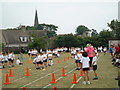
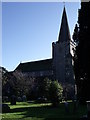
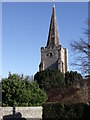
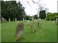
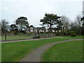
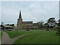
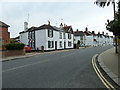
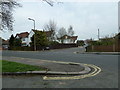
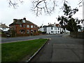
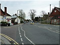
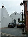
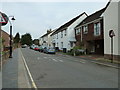
98 photos from this area
Area Information
Key information about the BN13 2DU including its size, population, and administrative classification.
- Area Type
- Postcode
- Area Size
- 1.8 hectares
- Population
- Not available
- Population Density
- Not available
House Prices in BN13 2DU
23
Properties
£318,458
Average Sold Price
£68,000
Lowest Price
£540,000
Highest Price
Showing 23 properties
| Address | Type | Beds | Baths | Last Sale Price | Last Sale Date | |
|---|---|---|---|---|---|---|
| 15 Rogate Close, Salvington, Worthing, BN13 2DU | Semi-detached | 4 | 2 | £540,000 | Jan 2025 | |
| 3 Rogate Close, Salvington, Worthing, BN13 2DU | Semi-detached | 3 | 2 | £425,000 | Aug 2024 | |
| 4 Rogate Close, Salvington, Worthing, BN13 2DU | Semi-detached | 3 | 1 | £463,000 | Jun 2024 | |
| 22 Rogate Close, Salvington, Worthing, BN13 2DU | house | - | - | £450,000 | Aug 2022 | |
| 10 Rogate Close, Salvington, Worthing, BN13 2DU | Semi-detached | 3 | 1 | £350,000 | Nov 2018 | |
| 21 Rogate Close, Salvington, Worthing, BN13 2DU | house | - | - | £338,500 | Oct 2016 | |
| 18 Rogate Close, Salvington, Worthing, BN13 2DU | Semi-detached | 3 | 1 | £316,000 | Feb 2016 | |
| 17 Rogate Close, Salvington, Worthing, BN13 2DU | Semi-detached | 4 | - | £365,000 | Oct 2015 | |
| 16 Rogate Close, Salvington, Worthing, BN13 2DU | Semi-detached | 4 | - | £245,000 | Jul 2012 | |
| 19 Rogate Close, Salvington, Worthing, BN13 2DU | Semi-detached | - | - | £151,000 | Oct 2001 |
Page 1 of 3
Energy Efficiency in BN13 2DU
Amenities
Schools
| Rank | School | Type | Entry gender | Ages |
|---|
Explore more schools in this area
Go to Schools tabDemographics
Household Size
One person
most common
Accommodation Type
Houses
most common
Tenure
71
majority
Ethnic Group
White
most common
Religion
N/A
most common
Household Composition
N/A
most common
Age
47
median
Adults (30-64 years)
most common
Household Deprivation
N/A
with no deprivation
NS-SEC
32
in Lower managerial occupations
Explore more demographic insights in this area
Go to Demographics tabPlanning
Planning Constraints
- Flood RiskPremium
- Ramsar Wetland SitesPremium
- Area of Outstanding Natural BeautyPremium
- Protected Nature ReservePremium
- Protected WoodlandPremium