Area Overview for BN13 2BJ
Photos of BN13 2BJ
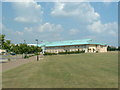
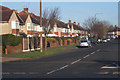
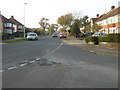
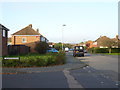
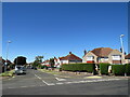
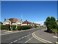
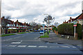
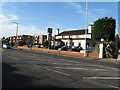
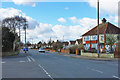
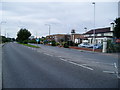
10 photos from this area
Area Information
Key information about the BN13 2BJ including its size, population, and administrative classification.
- Area Type
- Postcode
- Area Size
- 1.1 hectares
- Population
- 1468
- Population Density
- 5521 people/km²
House Prices in BN13 2BJ
38
Properties
£228,808
Average Sold Price
£45,500
Lowest Price
£450,000
Highest Price
Showing 38 properties
| Address | Type | Beds | Baths | Last Sale Price | Last Sale Date | |
|---|---|---|---|---|---|---|
| 22 Walton Close, Salvington, Worthing, BN13 2BJ | Terraced | 3 | 1 | £325,000 | Jul 2023 | |
| 15 Walton Close, Salvington, Worthing, BN13 2BJ | Terraced | 3 | 1 | £370,000 | Oct 2022 | |
| 16 Walton Close, Salvington, Worthing, BN13 2BJ | house | - | - | £220,740 | Jun 2022 | |
| 30 Walton Close, Salvington, Worthing, BN13 2BJ | house | 3 | 2 | £450,000 | Jun 2020 | |
| 17 Walton Close, Salvington, Worthing, BN13 2BJ | Terraced | 3 | 1 | £288,000 | Aug 2018 | |
| 29 Walton Close, Salvington, Worthing, BN13 2BJ | Terraced | 3 | 2 | £200,000 | Aug 2017 | |
| 25 Walton Close, Salvington, Worthing, BN13 2BJ | house | 3 | 1 | £179,000 | Jan 2012 | |
| 18 Walton Close, Salvington, Worthing, BN13 2BJ | Terraced | 3 | 1 | £183,000 | Sep 2007 | |
| 12 Walton Close, Salvington, Worthing, BN13 2BJ | Terraced | - | - | £162,500 | Sep 2004 | |
| 24 Walton Close, Salvington, Worthing, BN13 2BJ | house | - | - | £165,000 | Jun 2004 |
Page 1 of 4
Energy Efficiency in BN13 2BJ
Amenities
Schools
| Rank | School | Type | Entry gender | Ages |
|---|
Explore more schools in this area
Go to Schools tabDemographics
Household Size
Family (3-5 people)
most common
Accommodation Type
Houses
most common
Tenure
75
majority
Ethnic Group
White
most common
Religion
N/A
most common
Household Composition
N/A
most common
Age
47
median
Adults (30-64 years)
most common
Household Deprivation
N/A
with no deprivation
NS-SEC
29
in Lower managerial occupations
Explore more demographic insights in this area
Go to Demographics tabPlanning
Planning Constraints
- Flood RiskPremium
- Ramsar Wetland SitesPremium
- Area of Outstanding Natural BeautyPremium
- Protected Nature ReservePremium
- Protected WoodlandPremium