Area Overview for BN12 6QS
Photos of BN12 6QS
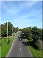
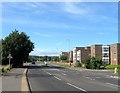
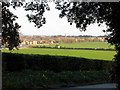
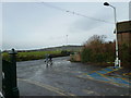
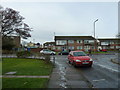
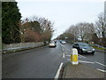
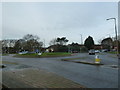
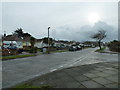
65 photos from this area
Area Information
Key information about the BN12 6QS including its size, population, and administrative classification.
- Area Type
- Postcode
- Area Size
- 10.5 hectares
- Population
- Not available
- Population Density
- Not available
House Prices in BN12 6QS
11
Properties
£370,164
Average Sold Price
£223,000
Lowest Price
£745,000
Highest Price
Showing 11 properties
| Address | Type | Beds | Baths | Last Sale Price | Last Sale Date | |
|---|---|---|---|---|---|---|
| 49 Ferring Lane, Ferring, BN12 6QS | Bungalow | 3 | 2 | £745,000 | Oct 2020 | |
| 58 Ferring Lane, Ferring, BN12 6QS | Detached | 4 | 2 | £500,000 | Apr 2020 | |
| 51 Ferring Lane, Ferring, BN12 6QS | Bungalow | - | - | £510,000 | Sep 2017 | |
| 53 Ferring Lane, Ferring, BN12 6QS | Bungalow | 3 | - | £370,000 | May 2017 | |
| 60 Ferring Lane, Ferring, BN12 6QS | Bungalow | 2 | - | £275,000 | May 2016 | |
| 64 Ferring Lane, Ferring, BN12 6QS | Bungalow | - | - | £280,000 | Mar 2013 | |
| 59 Ferring Lane, Ferring, BN12 6QS | Bungalow | 3 | - | £350,000 | Sep 2011 | |
| 57 Ferring Lane, Ferring, BN12 6QS | Detached | - | - | £245,000 | Jun 2006 | |
| 55 Ferring Lane, Ferring, BN12 6QS | Detached | - | - | £270,000 | Jan 2005 | |
| 62 Ferring Lane, Ferring, BN12 6QS | Semi-detached | - | - | £223,000 | Jun 2004 |
Page 1 of 2
Energy Efficiency in BN12 6QS
Amenities
Schools
| Rank | School | Type | Entry gender | Ages |
|---|
Explore more schools in this area
Go to Schools tabDemographics
Household Size
Family (3-5 people)
most common
Accommodation Type
Houses
most common
Tenure
73
majority
Ethnic Group
White
most common
Religion
N/A
most common
Household Composition
N/A
most common
Age
47
median
Adults (30-64 years)
most common
Household Deprivation
N/A
with no deprivation
NS-SEC
28
in Lower managerial occupations
Explore more demographic insights in this area
Go to Demographics tabPlanning
Planning Constraints
- Flood RiskPremium
- Ramsar Wetland SitesPremium
- Area of Outstanding Natural BeautyPremium
- Protected Nature ReservePremium
- Protected WoodlandPremium