Area Overview for BN12 6QA
Photos of BN12 6QA
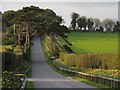
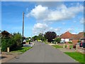
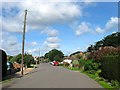
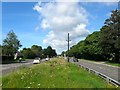
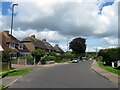
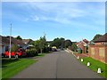
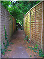
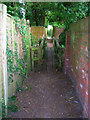
77 photos from this area
Area Information
Key information about the BN12 6QA including its size, population, and administrative classification.
- Area Type
- Postcode
- Area Size
- 1.5 hectares
- Population
- 1871
- Population Density
- 816 people/km²
House Prices in BN12 6QA
27
Properties
£291,500
Average Sold Price
£81,000
Lowest Price
£780,000
Highest Price
Showing 27 properties
| Address | Type | Beds | Baths | Last Sale Price | Last Sale Date | |
|---|---|---|---|---|---|---|
| 57 Langbury Lane, Ferring, BN12 6QA | Detached | 3 | 1 | £420,000 | Feb 2023 | |
| South Hangleton, 61 Langbury Lane, Ferring, BN12 6QA | Semi-detached | 3 | 2 | £780,000 | Mar 2022 | |
| 74 Langbury Lane, Ferring, BN12 6QA | Bungalow | - | - | £600,000 | Sep 2021 | |
| 55 Langbury Lane, Ferring, BN12 6QA | house | - | - | £490,000 | Jun 2021 | |
| 70 Langbury Lane, Ferring, BN12 6QA | Bungalow | - | - | £500,000 | Mar 2021 | |
| 56 Langbury Lane, Ferring, BN12 6QA | Bungalow | 4 | 1 | £400,000 | Apr 2020 | |
| 62 Langbury Lane, Ferring, BN12 6QA | Detached | 3 | 1 | £412,500 | Jul 2019 | |
| 53 Langbury Lane, Ferring, BN12 6QA | Terraced | 4 | 2 | £387,000 | Jun 2019 | |
| 60 Langbury Lane, Ferring, BN12 6QA | Chalet | 4 | 3 | £175,000 | Mar 2009 | |
| 59 Langbury Lane, Ferring, BN12 6QA | Detached | 3 | 1 | £170,000 | Mar 2009 |
Page 1 of 3
Energy Efficiency in BN12 6QA
Amenities
Schools
| Rank | School | Type | Entry gender | Ages |
|---|
Explore more schools in this area
Go to Schools tabDemographics
Household Size
Two person
most common
Accommodation Type
Houses
most common
Tenure
84
majority
Ethnic Group
White
most common
Religion
N/A
most common
Household Composition
N/A
most common
Age
47
median
Adults (30-64 years)
most common
Household Deprivation
N/A
with no deprivation
NS-SEC
36
in Lower managerial occupations
Explore more demographic insights in this area
Go to Demographics tabPlanning
Planning Constraints
- Flood RiskPremium
- Ramsar Wetland SitesPremium
- Area of Outstanding Natural BeautyPremium
- Protected Nature ReservePremium
- Protected WoodlandPremium