Area Overview for BN12 6JY
Photos of BN12 6JY

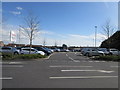
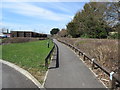
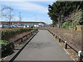
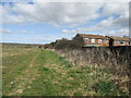
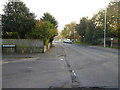
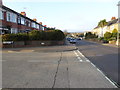
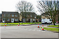
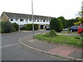
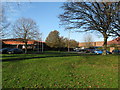

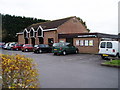
14 photos from this area
Area Information
Key information about the BN12 6JY including its size, population, and administrative classification.
- Area Type
- Postcode
- Area Size
- 2.0 hectares
- Population
- Not available
- Population Density
- Not available
House Prices in BN12 6JY
32
Properties
£273,055
Average Sold Price
£78,500
Lowest Price
£557,500
Highest Price
Showing 32 properties
| Address | Type | Beds | Baths | Last Sale Price | Last Sale Date | |
|---|---|---|---|---|---|---|
| 6 Windermere Crescent, Castle, Worthing, BN12 6JY | Semi-detached | 3 | 1 | £380,000 | Jan 2025 | |
| 42 Windermere Crescent, Castle, Worthing, BN12 6JY | Semi-detached | 2 | 1 | £347,500 | Nov 2023 | |
| 2 Windermere Crescent, Castle, Worthing, BN12 6JY | Bungalow | 3 | 1 | £557,500 | Jul 2022 | |
| 14 Windermere Crescent, Castle, Worthing, BN12 6JY | Retail | 2 | 1 | £507,000 | Apr 2022 | |
| 36 Windermere Crescent, Castle, Worthing, BN12 6JY | Bungalow | - | - | £355,000 | May 2021 | |
| 19 Windermere Crescent, Castle, Worthing, BN12 6JY | Bungalow | 4 | 1 | £423,500 | Oct 2018 | |
| 1 Windermere Crescent, Castle, Worthing, BN12 6JY | Detached | 3 | 3 | £445,000 | Oct 2017 | |
| 38 Windermere Crescent, Castle, Worthing, BN12 6JY | Bungalow | - | - | £330,000 | Aug 2017 | |
| 20 Windermere Crescent, Castle, Worthing, BN12 6JY | Semi-detached | 4 | 3 | £320,000 | Dec 2016 | |
| 30 Windermere Crescent, Castle, Worthing, BN12 6JY | Bungalow | 3 | 1 | £245,000 | Feb 2014 |
Page 1 of 4
Energy Efficiency in BN12 6JY
Amenities
Schools
| Rank | School | Type | Entry gender | Ages |
|---|
Explore more schools in this area
Go to Schools tabDemographics
Household Size
Two person
most common
Accommodation Type
Houses
most common
Tenure
84
majority
Ethnic Group
White
most common
Religion
N/A
most common
Household Composition
N/A
most common
Age
47
median
Adults (30-64 years)
most common
Household Deprivation
N/A
with no deprivation
NS-SEC
35
in Lower managerial occupations
Explore more demographic insights in this area
Go to Demographics tabPlanning
Planning Constraints
- Flood RiskPremium
- Ramsar Wetland SitesPremium
- Area of Outstanding Natural BeautyPremium
- Protected Nature ReservePremium
- Protected WoodlandPremium