Area Overview for BN12 6AE
Photos of BN12 6AE


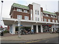
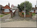
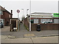
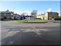
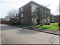
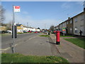
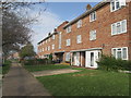
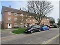

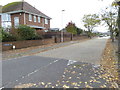
39 photos from this area
Area Information
Key information about the BN12 6AE including its size, population, and administrative classification.
- Area Type
- Postcode
- Area Size
- 8460 m²
- Population
- Not available
- Population Density
- Not available
House Prices in BN12 6AE
30
Properties
£193,687
Average Sold Price
£45,240
Lowest Price
£400,000
Highest Price
Showing 30 properties
| Address | Type | Beds | Baths | Last Sale Price | Last Sale Date | |
|---|---|---|---|---|---|---|
| 96 Limbrick Lane, Castle, Worthing, BN12 6AE | Maisonette | 3 | 1 | £290,000 | Apr 2024 | |
| 66 Limbrick Lane, Castle, Worthing, BN12 6AE | Terraced | 4 | 1 | £400,000 | Jan 2023 | |
| 80 Limbrick Lane, Castle, Worthing, BN12 6AE | Flat | 1 | 1 | £167,500 | May 2022 | |
| 59 Limbrick Lane, Castle, Worthing, BN12 6AE | Detached | 4 | 1 | £220,000 | Apr 2019 | |
| 61 Limbrick Lane, Castle, Worthing, BN12 6AE | Semi-detached | 2 | - | £260,000 | Sep 2016 | |
| 65 Limbrick Lane, Castle, Worthing, BN12 6AE | Semi-detached | 3 | - | £270,000 | Aug 2016 | |
| 77 Limbrick Lane, Castle, Worthing, BN12 6AE | Semi-detached | 2 | - | £218,000 | Nov 2015 | |
| 69 Limbrick Lane, Castle, Worthing, BN12 6AE | Semi-detached | 3 | 1 | £235,500 | Oct 2015 | |
| 94 Limbrick Lane, Castle, Worthing, BN12 6AE | Flat | - | - | £96,000 | Aug 2002 | |
| 72 Limbrick Lane, Castle, Worthing, BN12 6AE | house | 3 | - | £45,240 | Jan 2002 |
Page 1 of 3
Energy Efficiency in BN12 6AE
Amenities
Schools
| Rank | School | Type | Entry gender | Ages |
|---|
Explore more schools in this area
Go to Schools tabDemographics
Household Size
Family (3-5 people)
most common
Accommodation Type
Houses
most common
Tenure
66
majority
Ethnic Group
White
most common
Religion
N/A
most common
Household Composition
N/A
most common
Age
47
median
Adults (30-64 years)
most common
Household Deprivation
N/A
with no deprivation
NS-SEC
26
in Lower managerial occupations
Explore more demographic insights in this area
Go to Demographics tabPlanning
Planning Constraints
- Flood RiskPremium
- Ramsar Wetland SitesPremium
- Area of Outstanding Natural BeautyPremium
- Protected Nature ReservePremium
- Protected WoodlandPremium