Area Overview for BN12 5LB
Photos of BN12 5LB
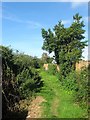
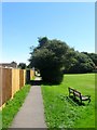
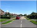
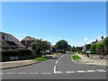
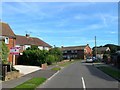
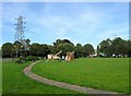
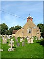
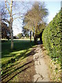
100 photos from this area
Area Information
Key information about the BN12 5LB including its size, population, and administrative classification.
- Area Type
- Postcode
- Area Size
- 1.3 hectares
- Population
- 1871
- Population Density
- 816 people/km²
House Prices in BN12 5LB
23
Properties
£264,479
Average Sold Price
£10,000
Lowest Price
£422,080
Highest Price
Showing 23 properties
| Address | Type | Beds | Baths | Last Sale Price | Last Sale Date | |
|---|---|---|---|---|---|---|
| 31 Colindale Road North, Ferring, BN12 5LB | Detached | 2 | 1 | £385,000 | Oct 2025 | |
| 35 Colindale Road North, Ferring, BN12 5LB | Bungalow | 2 | 1 | £355,000 | Oct 2025 | |
| 37 Colindale Road North, Ferring, BN12 5LB | Bungalow | 3 | 1 | £422,080 | Jun 2025 | |
| 2 Colindale Road North, Ferring, BN12 5LB | Bungalow | 2 | 1 | £410,000 | May 2023 | |
| 6 Colindale Road North, Ferring, BN12 5LB | Bungalow | 2 | - | £405,000 | Jan 2023 | |
| 12 Colindale Road North, Ferring, BN12 5LB | Bungalow | 2 | 1 | £335,000 | Jun 2021 | |
| 25 Colindale Road North, Ferring, BN12 5LB | Bungalow | - | - | £295,000 | Aug 2020 | |
| 4 Colindale Road North, Ferring, BN12 5LB | Bungalow | 2 | - | £370,000 | Sep 2019 | |
| 27 Colindale Road North, Ferring, BN12 5LB | Bungalow | 2 | 1 | £305,000 | Oct 2016 | |
| 26 Colindale Road North, Ferring, BN12 5LB | Semi-detached | 4 | 2 | £300,000 | Mar 2016 |
Page 1 of 3
Energy Efficiency in BN12 5LB
Amenities
Schools
| Rank | School | Type | Entry gender | Ages |
|---|
Explore more schools in this area
Go to Schools tabDemographics
Household Size
Two person
most common
Accommodation Type
Houses
most common
Tenure
84
majority
Ethnic Group
White
most common
Religion
N/A
most common
Household Composition
N/A
most common
Age
47
median
Adults (30-64 years)
most common
Household Deprivation
N/A
with no deprivation
NS-SEC
36
in Lower managerial occupations
Explore more demographic insights in this area
Go to Demographics tabPlanning
Planning Constraints
- Flood RiskPremium
- Ramsar Wetland SitesPremium
- Area of Outstanding Natural BeautyPremium
- Protected Nature ReservePremium
- Protected WoodlandPremium