Area Overview for BN12 5JP
Photos of BN12 5JP
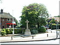
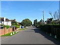
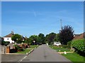
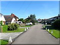
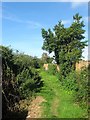
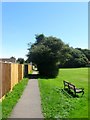
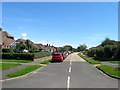
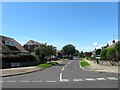
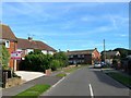
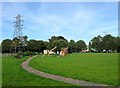
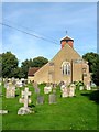
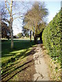
100 photos from this area
Area Information
Key information about the BN12 5JP including its size, population, and administrative classification.
- Area Type
- Postcode
- Area Size
- 1.5 hectares
- Population
- Not available
- Population Density
- Not available
House Prices in BN12 5JP
35
Properties
£316,497
Average Sold Price
£40,000
Lowest Price
£1,690,421
Highest Price
Showing 35 properties
| Address | Type | Beds | Baths | Last Sale Price | Last Sale Date | |
|---|---|---|---|---|---|---|
| 108 Ferring Street, Ferring, BN12 5JP | Maisonette | 2 | 1 | £1,690,421 | Mar 2024 | |
| 52B Ferring Street, Ferring, BN12 5JP | Maisonette | 2 | 1 | £196,000 | Oct 2023 | |
| 100 Ferring Street, Ferring, BN12 5JP | restaurant_cafe | - | - | £335,000 | Aug 2023 | |
| First Floor Flat, 72 Ferring Street, Ferring, BN12 5JP | Flat | - | - | £170,000 | Apr 2023 | |
| Westbury, Ferring Street, Ferring, BN12 5JP | retail_financial | - | - | £440,000 | Jul 2020 | |
| 122 Ferring Street, Ferring, BN12 5JP | Flat | - | - | £180,000 | Feb 2020 | |
| 88 Ferring Street, Ferring, BN12 5JP | Flat | 2 | - | £185,000 | Sep 2016 | |
| First Floor Flat, 68 Ferring Street, Ferring, BN12 5JP | Flat | - | - | £123,035 | Apr 2009 | |
| 114 Ferring Street, Ferring, BN12 5JP | Flat | 2 | - | £285,000 | May 2007 | |
| 116 Ferring Street, Ferring, BN12 5JP | Flat | - | - | £170,000 | Dec 2004 |
Page 1 of 4
Energy Efficiency in BN12 5JP
Amenities
Schools
| Rank | School | Type | Entry gender | Ages |
|---|
Explore more schools in this area
Go to Schools tabDemographics
Household Size
Two person
most common
Accommodation Type
Houses
most common
Tenure
89
majority
Ethnic Group
White
most common
Religion
N/A
most common
Household Composition
N/A
most common
Age
70
median
Elderly (65+ years)
most common
Household Deprivation
N/A
with no deprivation
NS-SEC
40
in Lower managerial occupations
Explore more demographic insights in this area
Go to Demographics tabPlanning
Planning Constraints
- Flood RiskPremium
- Ramsar Wetland SitesPremium
- Area of Outstanding Natural BeautyPremium
- Protected Nature ReservePremium
- Protected WoodlandPremium