Area Overview for BN12 5HN
Photos of BN12 5HN
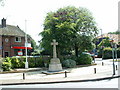
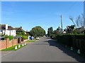
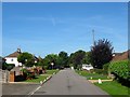
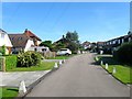
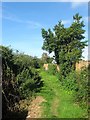
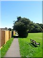
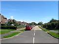
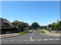
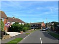
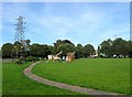
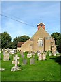
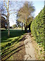
100 photos from this area
Area Information
Key information about the BN12 5HN including its size, population, and administrative classification.
- Area Type
- Postcode
- Area Size
- 1.2 hectares
- Population
- Not available
- Population Density
- Not available
House Prices in BN12 5HN
12
Properties
£469,989
Average Sold Price
£249,950
Lowest Price
£700,000
Highest Price
Showing 12 properties
| Address | Type | Beds | Baths | Last Sale Price | Last Sale Date | |
|---|---|---|---|---|---|---|
| Peggles, Church Lane, Ferring, BN12 5HN | Bungalow | 2 | 1 | £545,000 | Aug 2024 | |
| Erebus, Church Lane, Ferring, BN12 5HN | Detached | 3 | 3 | £700,000 | Oct 2022 | |
| Maytree Cottage, Church Lane, Ferring, BN12 5HN | Semi-detached | 1 | - | £295,000 | Jan 2020 | |
| The Ramblers, Church Lane, Ferring, BN12 5HN | Cottage | 2 | - | £325,000 | May 2016 | |
| Grange Cottage, Church Lane, Ferring, BN12 5HN | Detached | 4 | 1 | £534,950 | Dec 2015 | |
| Mulberry, Church Lane, Ferring, BN12 5HN | Bungalow | 3 | 3 | £545,000 | Feb 2015 | |
| Church Cottage, Church Lane, Ferring, BN12 5HN | house | - | - | £440,000 | Dec 2011 | |
| Holly Cottage, Church Lane, Ferring, BN12 5HN | Detached | 4 | 2 | £595,000 | Dec 2007 | |
| Grange Gate, Church Lane, Ferring, BN12 5HN | Detached | - | - | £249,950 | Oct 2002 | |
| BRENLYN HOUSE, CHURCH LANE, Ferring, BN12 5HN | Unknown | - | - | - | - |
Page 1 of 2
Energy Efficiency in BN12 5HN
Amenities
Schools
| Rank | School | Type | Entry gender | Ages |
|---|
Explore more schools in this area
Go to Schools tabDemographics
Household Size
Two person
most common
Accommodation Type
Houses
most common
Tenure
89
majority
Ethnic Group
White
most common
Religion
N/A
most common
Household Composition
N/A
most common
Age
70
median
Elderly (65+ years)
most common
Household Deprivation
N/A
with no deprivation
NS-SEC
40
in Lower managerial occupations
Explore more demographic insights in this area
Go to Demographics tabPlanning
Planning Constraints
- Flood RiskPremium
- Ramsar Wetland SitesPremium
- Area of Outstanding Natural BeautyPremium
- Protected Nature ReservePremium
- Protected WoodlandPremium