Area Overview for BN12 4AU
Photos of BN12 4AU
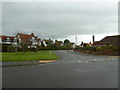
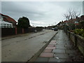
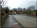
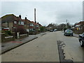
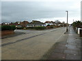
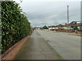
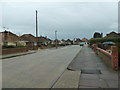
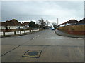
94 photos from this area
Area Information
Key information about the BN12 4AU including its size, population, and administrative classification.
- Area Type
- Postcode
- Area Size
- 2.1 hectares
- Population
- Not available
- Population Density
- Not available
House Prices in BN12 4AU
56
Properties
£356,692
Average Sold Price
£67,000
Lowest Price
£618,000
Highest Price
Showing 56 properties
| Address | Type | Beds | Baths | Last Sale Price | Last Sale Date | |
|---|---|---|---|---|---|---|
| 16 Rose Walk, Marine, Worthing, BN12 4AU | Semi-detached | 4 | 2 | £600,000 | Jan 2025 | |
| 3 Rose Walk, Marine, Worthing, BN12 4AU | Detached | 3 | 1 | £618,000 | Oct 2024 | |
| 36 Rose Walk, Marine, Worthing, BN12 4AU | Bungalow | - | - | £380,000 | Jun 2021 | |
| 47 Rose Walk, Marine, Worthing, BN12 4AU | house | - | - | £475,000 | May 2021 | |
| 41 Rose Walk, Marine, Worthing, BN12 4AU | house | - | - | £580,000 | Mar 2021 | |
| 12 Rose Walk, Marine, Worthing, BN12 4AU | Detached | 4 | 1 | £565,000 | Mar 2021 | |
| 39 Rose Walk, Marine, Worthing, BN12 4AU | house | - | - | £572,000 | Mar 2020 | |
| 14 Rose Walk, Marine, Worthing, BN12 4AU | Semi-detached | 3 | 2 | £387,500 | Nov 2019 | |
| 31 Rose Walk, Marine, Worthing, BN12 4AU | house | - | - | £460,000 | Feb 2019 | |
| 24 Rose Walk, Marine, Worthing, BN12 4AU | house | - | - | £497,000 | Sep 2018 |
Page 1 of 6
Energy Efficiency in BN12 4AU
Amenities
Schools
| Rank | School | Type | Entry gender | Ages |
|---|
Explore more schools in this area
Go to Schools tabDemographics
Household Size
Two person
most common
Accommodation Type
Houses
most common
Tenure
81
majority
Ethnic Group
White
most common
Religion
N/A
most common
Household Composition
N/A
most common
Age
47
median
Adults (30-64 years)
most common
Household Deprivation
N/A
with no deprivation
NS-SEC
46
in Lower managerial occupations
Explore more demographic insights in this area
Go to Demographics tabPlanning
Planning Constraints
- Flood RiskPremium
- Ramsar Wetland SitesPremium
- Area of Outstanding Natural BeautyPremium
- Protected Nature ReservePremium
- Protected WoodlandPremium