Area Overview for BN11 4NR
Photos of BN11 4NR
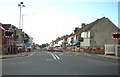
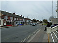
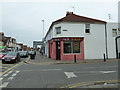
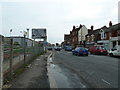
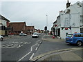

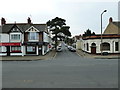
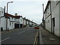
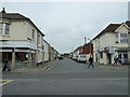

100 photos from this area
Area Information
Key information about the BN11 4NR including its size, population, and administrative classification.
- Area Type
- Postcode
- Area Size
- 6616 m²
- Population
- Not available
- Population Density
- Not available
House Prices in BN11 4NR
47
Properties
£337,381
Average Sold Price
£86,950
Lowest Price
£600,000
Highest Price
Showing 47 properties
| Address | Type | Beds | Baths | Last Sale Price | Last Sale Date | |
|---|---|---|---|---|---|---|
| 30 Browning Road, Heene, Worthing, BN11 4NR | Semi-detached | 3 | 1 | £590,000 | Apr 2025 | |
| 36 Browning Road, Heene, Worthing, BN11 4NR | Semi-detached | 3 | 1 | £600,000 | Aug 2023 | |
| 25 Browning Road, Heene, Worthing, BN11 4NR | house | 3 | 1 | £495,000 | Apr 2022 | |
| 50 Browning Road, Heene, Worthing, BN11 4NR | house | - | - | £440,000 | Oct 2021 | |
| 33 Browning Road, Heene, Worthing, BN11 4NR | Semi-detached | 3 | 1 | £460,000 | Feb 2020 | |
| 26A Browning Road, Heene, Worthing, BN11 4NR | Flat | - | - | £178,000 | Sep 2015 | |
| 46 Browning Road, Heene, Worthing, BN11 4NR | Unknown | - | - | £155,000 | Aug 2010 | |
| 39 Browning Road, Heene, Worthing, BN11 4NR | house | - | - | £332,500 | Nov 2009 | |
| 35 Browning Road, Heene, Worthing, BN11 4NR | Semi-detached | - | - | £330,000 | Jul 2007 | |
| 56 Browning Road, Heene, Worthing, BN11 4NR | Flat | 1 | 1 | £307,000 | Feb 2007 |
Page 1 of 5
Energy Efficiency in BN11 4NR
Amenities
Schools
| Rank | School | Type | Entry gender | Ages |
|---|
Explore more schools in this area
Go to Schools tabDemographics
Household Size
One person
most common
Accommodation Type
Flats
most common
Tenure
49
majority
Ethnic Group
White
most common
Religion
N/A
most common
Household Composition
N/A
most common
Age
47
median
Adults (30-64 years)
most common
Household Deprivation
N/A
with no deprivation
NS-SEC
36
in Lower managerial occupations
Explore more demographic insights in this area
Go to Demographics tabPlanning
Planning Constraints
- Flood RiskPremium
- Ramsar Wetland SitesPremium
- Area of Outstanding Natural BeautyPremium
- Protected Nature ReservePremium
- Protected WoodlandPremium