Area Overview for BN11 2LN
Photos of BN11 2LN
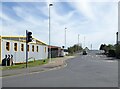
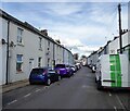
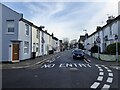
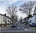
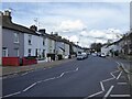
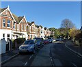
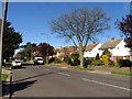
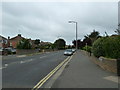
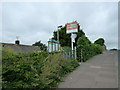
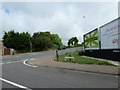
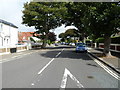
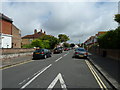
100 photos from this area
Area Information
Key information about the BN11 2LN including its size, population, and administrative classification.
- Area Type
- Postcode
- Area Size
- 1.2 hectares
- Population
- Not available
- Population Density
- Not available
House Prices in BN11 2LN
91
Properties
£600,714
Average Sold Price
£210,000
Lowest Price
£1,300,000
Highest Price
Showing 91 properties
| Address | Type | Beds | Baths | Last Sale Price | Last Sale Date | |
|---|---|---|---|---|---|---|
| 25 Selden Road, Selden, Worthing, BN11 2LN | Flat | - | - | £825,000 | May 2025 | |
| White Pearl Residential Care, 22-24 Selden Road, Selden, Worthing, BN11 2LN | Detached | 21 | - | £1,300,000 | Nov 2024 | |
| 23 Selden Road, Selden, Worthing, BN11 2LN | Detached | 5 | 1 | £775,000 | Nov 2021 | |
| 30 Selden Road, Selden, Worthing, BN11 2LN | Terraced | 4 | - | £345,000 | Oct 2014 | |
| 19B Selden Road, Selden, Worthing, BN11 2LN | house | 3 | 2 | £230,000 | Oct 2010 | |
| 20 Selden Road, Selden, Worthing, BN11 2LN | Detached | 7 | 4 | £520,000 | Mar 2009 | |
| 28 Selden Road, Selden, Worthing, BN11 2LN | Flat | - | - | £210,000 | Oct 1998 | |
| Flat 5, 19A Selden Road, Selden, Worthing, BN11 2LN | Flat | 2 | 1 | - | - | |
| Flat 2, Selden House, 21 Selden Road, Selden, Worthing, BN11 2LN | Flat | 2 | 1 | - | - | |
| Flat 2, 19 Selden Road, Selden, Worthing, BN11 2LN | Flat | 1 | 1 | - | - |
Page 1 of 10
Energy Efficiency in BN11 2LN
Amenities
Schools
| Rank | School | Type | Entry gender | Ages |
|---|
Explore more schools in this area
Go to Schools tabDemographics
Household Size
One person
most common
Accommodation Type
Flats
most common
Tenure
47
majority
Ethnic Group
White
most common
Religion
N/A
most common
Household Composition
N/A
most common
Age
47
median
Adults (30-64 years)
most common
Household Deprivation
N/A
with no deprivation
NS-SEC
38
in Lower managerial occupations
Explore more demographic insights in this area
Go to Demographics tabPlanning
Planning Constraints
- Flood RiskPremium
- Ramsar Wetland SitesPremium
- Area of Outstanding Natural BeautyPremium
- Protected Nature ReservePremium
- Protected WoodlandPremium