Area Overview for BN11 2ET
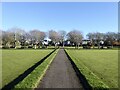
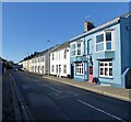
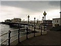
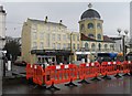
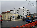
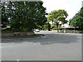
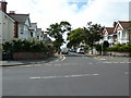
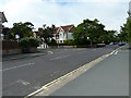
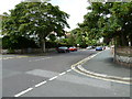
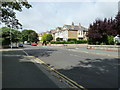
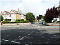
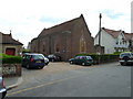
Photos of BN11 2ET
Area Information
Living in BN11 2ET means being part of a tightly knit residential cluster in East Worthing, just east of Worthing town centre. This postcode area covers 1,588 square metres and is home to 1,899 people, creating a densely populated yet compact community. Situated at coordinates approximately 50.8151° N, -0.3615° W, it sits within the Selden electoral ward, blending proximity to urban amenities with a quiet residential character. The area’s small size means residents benefit from immediate access to Worthing’s town centre, while its location near East Worthing’s rail stations and retail hubs offers convenience without the chaos of larger cities. With a population density of 1,195,780 people per square kilometre, the community is tightly woven, fostering a sense of familiarity among residents. The area’s proximity to multiple railway stations and a mix of retail outlets, including Waitrose and Budgens, ensures daily life is both practical and accessible. For those seeking a balance between urban and suburban living, BN11 2ET offers a distinct microcosm of South East England’s residential appeal.
- Area Type
- Postcode
- Area Size
- 1588 m²
- Population
- Not available
- Population Density
- Not available
The property market in BN11 2ET is defined by its high density and reliance on flats. With 47% of homes owner-occupied, the area leans more towards rental than purchase, though the small size of the postcode means the housing stock is limited. Flats dominate, which suits the compact layout and high population density. Buyers should consider that the area’s proximity to Worthing’s town centre and multiple rail stations may make it attractive to those prioritising convenience over space. However, the limited number of properties and the focus on flats suggest competition for available homes. For those seeking a quiet residential area with easy access to amenities, BN11 2ET’s property market offers a niche opportunity, though buyers may need to balance location advantages with the constraints of a small, densely populated postcode.
House Prices in BN11 2ET
Showing 1 properties
| Address | Type | Beds | Baths | Last Sale Price | Last Sale Date | |
|---|---|---|---|---|---|---|
| Shepherd House, 129 Brighton Road, Selden, Worthing, BN11 2ET | Land | - | - | - | - |
Energy Efficiency in BN11 2ET
Residents of BN11 2ET enjoy a range of amenities within easy reach. The area’s retail options include Co-op Ham, Budgens MRH, and Waitrose Worthing, providing access to both local and national grocery chains. Rail connectivity is strong, with five stations offering links to Worthing and beyond, facilitating both daily commutes and weekend travel. The proximity to Shoreham Airport and Shoreham Brighton City Airport adds to the area’s accessibility for air travel. While the data does not specify parks or leisure facilities, the presence of multiple retail and transport hubs suggests a lifestyle focused on convenience and practicality. The compact nature of the area means amenities are closely clustered, reducing the need for long journeys and enhancing the overall quality of daily life.
Amenities
Schools
Residents of BN11 2ET have access to two notable schools. Sandhurst School is an independent institution, offering a private education option for families seeking alternative schooling. Nearby, Seadown School is a special school with an Ofsted rating of ‘good’, catering to students with specific educational needs. This combination of school types provides families with choices, whether they prioritise independent education or require support for special needs. The presence of both school types reflects the area’s diversity in educational provision, ensuring that children’s needs are met through a range of options. For parents, the proximity of these schools to residential properties in BN11 2ET adds to the area’s appeal as a family-friendly location.
| Rank | School | Type | Entry gender | Ages |
|---|
Explore more schools in this area
Go to Schools tabDemographics
BN11 2ET has a median age of 47, with the majority of residents falling within the 30–64 age range. This suggests a community skewed towards adults, likely with established careers and families. Home ownership in the area stands at 47%, indicating that over half of properties are rented, which may reflect the area’s compact nature and limited housing stock. The predominant accommodation type is flats, aligning with the high population density and the need for space-efficient living. The dominant ethnic group is White, though no specific data on diversity or deprivation is provided. The population density of 1,195,780 people per square kilometre underscores the area’s intensity, which may influence the pace of life and the demand for shared amenities. For buyers, this profile suggests a mature, stable demographic with a focus on practical, space-conscious housing solutions.
Household Size
Accommodation Type
Tenure
Ethnic Group
Religion
Household Composition
Age
Household Deprivation
NS-SEC
Explore more demographic insights in this area
Go to Demographics tabPlanning
Planning Constraints
- Flood RiskPremium
- Ramsar Wetland SitesPremium
- Area of Outstanding Natural BeautyPremium
- Protected Nature ReservePremium
- Protected WoodlandPremium