Area Overview for BN11 2AR
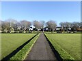
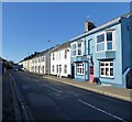
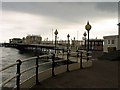
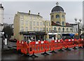
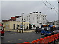
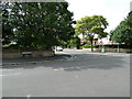
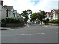
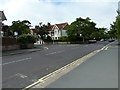
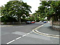
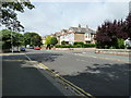
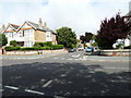
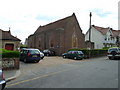
Photos of BN11 2AR
Area Information
Living in BN11 2AR means being part of a small, tightly knit residential cluster in the coastal town of Worthing, West Sussex. With a population of just 1,202, this area is characterised by its compact size and established urban feel. Situated within the Worthing West parliamentary constituency, it benefits from proximity to the town’s amenities while maintaining a quieter, community-focused atmosphere. The median age of 47 suggests a mature demographic, with adults aged 30–64 forming the largest group. This reflects a stable, long-term residential base, often seen in established coastal towns. Daily life here is shaped by nearby transport links, including multiple railway stations, and access to retail hubs like Waitrose and Tesco. While the area lacks large-scale green spaces, its coastal location offers easy access to Worthing’s beaches and wider South Coast attractions. For those seeking a balance between convenience and tranquillity, BN11 2AR provides a compact, functional living environment with a strong sense of local identity.
- Area Type
- Postcode
- Area Size
- Not available
- Population
- 1202
- Population Density
- 4091 people/km²
The property market in BN11 2AR is defined by a high rate of home ownership (64%) and a predominance of flats. This suggests a mix of older, purpose-built housing and newer developments, typical of coastal towns with limited land for traditional homes. The focus on flats may indicate a demand for compact, low-maintenance living, appealing to both retirees and professionals seeking convenience. While the area’s small size means the housing stock is limited, the high ownership rate implies a stable market with fewer rental properties. Buyers should consider the implications of a flat-dominated market, including potential restrictions on modifications and a reliance on shared spaces. The average property values in nearby wards, such as Central Ward, suggest mid-range pricing, positioning BN11 2AR as a practical option for those prioritising location over expansive living space.
House Prices in BN11 2AR
No properties found in this postcode.
Energy Efficiency in BN11 2AR
Residents of BN11 2AR have access to a range of amenities within walking or short driving distance. The area is served by five retail outlets, including major supermarkets like Waitrose, Lidl, and Tesco, ensuring everyday shopping needs are met. The presence of multiple railway stations enhances mobility, while the two nearby airports cater to travel requirements. Although the data does not mention parks or leisure facilities, the coastal location of Worthing implies proximity to beaches and outdoor spaces. The mix of retail and transport options supports a convenient lifestyle, with minimal need to travel far for essentials. However, the absence of detailed information on recreational amenities means buyers should explore the wider area for parks or cultural attractions. Overall, BN11 2AR offers practical convenience, though its smaller size may require residents to look beyond the immediate postcode for more extensive leisure opportunities.
Amenities
Schools
The nearest school to BN11 2AR is John Horniman School, a special school catering to students with specific educational needs. This indicates a focus on tailored support for learners with additional requirements, though no mainstream primary or secondary schools are listed in the data. Families with children requiring specialist education may find this school a key asset, but those seeking a broader range of schools may need to look beyond the immediate area. The absence of other schools suggests that parents should consider commuting to nearby wards for a more comprehensive selection of educational institutions. For those prioritising specialist provision, John Horniman School offers a dedicated resource, but the lack of other schools highlights the need for careful planning when assessing long-term family needs.
| Rank | School | Type | Entry gender | Ages |
|---|
Explore more schools in this area
Go to Schools tabDemographics
BN11 2AR has a median age of 47, with the majority of residents falling within the 30–64 age range. This indicates a community of established professionals and families, rather than a younger, student-led population. Home ownership is high at 64%, suggesting a stable housing market where most residents are long-term property owners. The accommodation type is predominantly flats, reflecting a mix of older housing stock and newer developments. The predominant ethnic group is White, though no specific data on diversity or deprivation levels is provided. This demographic profile aligns with the area’s role as a mature, settled ward within Worthing. The absence of younger households or high rental demand suggests a focus on owner-occupied properties, which may influence local services and amenities. For buyers, this means a community with low turnover and a preference for established housing solutions.
Household Size
Accommodation Type
Tenure
Ethnic Group
Religion
Household Composition
Age
Household Deprivation
NS-SEC
Explore more demographic insights in this area
Go to Demographics tabPlanning
Planning Constraints
- Flood RiskPremium
- Ramsar Wetland SitesPremium
- Area of Outstanding Natural BeautyPremium
- Protected Nature ReservePremium
- Protected WoodlandPremium