Area Overview for BN1 8UN
Photos of BN1 8UN
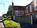
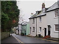
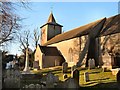
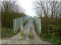
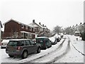
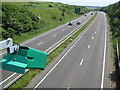
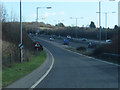
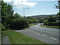
73 photos from this area
Area Information
Key information about the BN1 8UN including its size, population, and administrative classification.
- Area Type
- Postcode
- Area Size
- 1.2 hectares
- Population
- 1627
- Population Density
- 1159 people/km²
House Prices in BN1 8UN
31
Properties
£365,717
Average Sold Price
£152,000
Lowest Price
£618,000
Highest Price
Showing 31 properties
| Address | Type | Beds | Baths | Last Sale Price | Last Sale Date | |
|---|---|---|---|---|---|---|
| 62 Sanyhils Avenue, Brighton, BN1 8UN | Detached | 3 | 1 | £520,000 | Jul 2023 | |
| 6 Sanyhils Avenue, Brighton, BN1 8UN | house | 3 | - | £609,000 | Dec 2021 | |
| 46 Sanyhils Avenue, Brighton, BN1 8UN | house | - | - | £325,000 | Jun 2021 | |
| 50 Sanyhils Avenue, Brighton, BN1 8UN | house | - | - | £618,000 | May 2021 | |
| 22 Sanyhils Avenue, Brighton, BN1 8UN | house | - | - | £337,500 | May 2019 | |
| 34 Sanyhils Avenue, Brighton, BN1 8UN | house | - | - | £375,000 | Apr 2019 | |
| 36 Sanyhils Avenue, Brighton, BN1 8UN | house | - | - | £495,000 | May 2018 | |
| 44 Sanyhils Avenue, Brighton, BN1 8UN | Semi-detached | 3 | 1 | £390,000 | Mar 2018 | |
| 14 Sanyhils Avenue, Brighton, BN1 8UN | Semi-detached | 3 | 1 | £420,000 | Dec 2017 | |
| 54 Sanyhils Avenue, Brighton, BN1 8UN | house | - | - | £399,950 | Oct 2016 |
Page 1 of 4
Energy Efficiency in BN1 8UN
Amenities
Schools
| Rank | School | Type | Entry gender | Ages |
|---|
Explore more schools in this area
Go to Schools tabDemographics
Household Size
Family (3-5 people)
most common
Accommodation Type
Houses
most common
Tenure
90
majority
Ethnic Group
White
most common
Religion
N/A
most common
Household Composition
N/A
most common
Age
47
median
Adults (30-64 years)
most common
Household Deprivation
N/A
with no deprivation
NS-SEC
38
in Lower managerial occupations
Explore more demographic insights in this area
Go to Demographics tabPlanning
Planning Constraints
- Flood RiskPremium
- Ramsar Wetland SitesPremium
- Area of Outstanding Natural BeautyPremium
- Protected Nature ReservePremium
- Protected WoodlandPremium