Area Overview for BN1 6NE
Photos of BN1 6NE
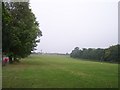
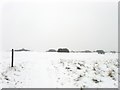
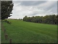
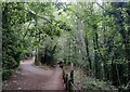
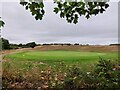
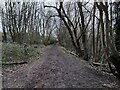
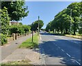
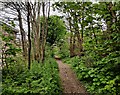
29 photos from this area
Area Information
Key information about the BN1 6NE including its size, population, and administrative classification.
- Area Type
- Postcode
- Area Size
- 6.0 hectares
- Population
- 1551
- Population Density
- 2237 people/km²
House Prices in BN1 6NE
42
Properties
£521,959
Average Sold Price
£94,950
Lowest Price
£975,000
Highest Price
Showing 42 properties
| Address | Type | Beds | Baths | Last Sale Price | Last Sale Date | |
|---|---|---|---|---|---|---|
| 186 Balfour Road, Brighton, BN1 6NE | Semi-detached | 4 | 1 | £975,000 | Oct 2023 | |
| 130 Balfour Road, Brighton, BN1 6NE | Terraced | 3 | 1 | £515,000 | Aug 2022 | |
| 65 Balfour Road, Brighton, BN1 6NE | house | 3 | 1 | £573,000 | Jun 2021 | |
| 202 Balfour Road, Brighton, BN1 6NE | Detached | 4 | 2 | £850,000 | Mar 2021 | |
| 174 Balfour Road, Brighton, BN1 6NE | Semi-detached | 4 | 1 | £725,000 | Sep 2019 | |
| 176 Balfour Road, Brighton, BN1 6NE | house | - | - | £699,950 | Aug 2018 | |
| 198 Balfour Road, Brighton, BN1 6NE | house | - | - | £770,500 | Jun 2017 | |
| 142 Balfour Road, Brighton, BN1 6NE | house | 3 | - | £500,000 | May 2017 | |
| 146 Balfour Road, Brighton, BN1 6NE | house | - | - | £890,000 | Mar 2016 | |
| 67 Balfour Road, Brighton, BN1 6NE | Semi-detached | 3 | 1 | £415,000 | Mar 2016 |
Page 1 of 5
Energy Efficiency in BN1 6NE
Amenities
Schools
| Rank | School | Type | Entry gender | Ages |
|---|
Explore more schools in this area
Go to Schools tabDemographics
Household Size
Family (3-5 people)
most common
Accommodation Type
Houses
most common
Tenure
87
majority
Ethnic Group
White
most common
Religion
N/A
most common
Household Composition
N/A
most common
Age
47
median
Adults (30-64 years)
most common
Household Deprivation
N/A
with no deprivation
NS-SEC
57
in Lower managerial occupations
Explore more demographic insights in this area
Go to Demographics tabPlanning
Planning Constraints
- Flood RiskPremium
- Ramsar Wetland SitesPremium
- Area of Outstanding Natural BeautyPremium
- Protected Nature ReservePremium
- Protected WoodlandPremium