Area Overview for BN1 5EE
Photos of BN1 5EE
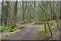
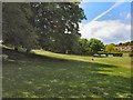
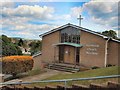
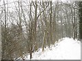
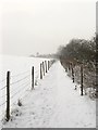
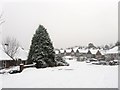
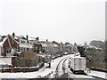
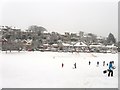
59 photos from this area
Area Information
Key information about the BN1 5EE including its size, population, and administrative classification.
- Area Type
- Postcode
- Area Size
- 3.0 hectares
- Population
- 1514
- Population Density
- 2759 people/km²
House Prices in BN1 5EE
34
Properties
£417,065
Average Sold Price
£64,950
Lowest Price
£1,060,000
Highest Price
Showing 34 properties
| Address | Type | Beds | Baths | Last Sale Price | Last Sale Date | |
|---|---|---|---|---|---|---|
| 22 Barn Rise, Brighton, BN1 5EE | Semi-detached | 3 | 2 | £550,000 | Jun 2024 | |
| 46 Barn Rise, Brighton, BN1 5EE | Semi-detached | 2 | 1 | £447,000 | Apr 2024 | |
| 40 Barn Rise, Brighton, BN1 5EE | Bungalow | 3 | 1 | £558,330 | Feb 2024 | |
| 38 Barn Rise, Brighton, BN1 5EE | Semi-detached | 2 | 1 | £405,000 | Oct 2023 | |
| 36 Barn Rise, Brighton, BN1 5EE | Semi-detached | 2 | 2 | £420,000 | May 2023 | |
| 58 Barn Rise, Brighton, BN1 5EE | Bungalow | 2 | - | £1,060,000 | Aug 2021 | |
| 20 Barn Rise, Brighton, BN1 5EE | house | - | - | £515,000 | Jun 2021 | |
| 4 Barn Rise, Brighton, BN1 5EE | Detached | 5 | 3 | £825,000 | Nov 2020 | |
| 52 Barn Rise, Brighton, BN1 5EE | Semi-detached | 2 | 1 | £435,000 | Sep 2020 | |
| 10 Barn Rise, Brighton, BN1 5EE | Bungalow | 3 | 1 | £399,950 | Sep 2019 |
Page 1 of 4
Energy Efficiency in BN1 5EE
Amenities
Schools
| Rank | School | Type | Entry gender | Ages |
|---|
Explore more schools in this area
Go to Schools tabDemographics
Household Size
Family (3-5 people)
most common
Accommodation Type
Houses
most common
Tenure
90
majority
Ethnic Group
White
most common
Religion
N/A
most common
Household Composition
N/A
most common
Age
47
median
Adults (30-64 years)
most common
Household Deprivation
N/A
with no deprivation
NS-SEC
47
in Lower managerial occupations
Explore more demographic insights in this area
Go to Demographics tabPlanning
Planning Constraints
- Flood RiskPremium
- Ramsar Wetland SitesPremium
- Area of Outstanding Natural BeautyPremium
- Protected Nature ReservePremium
- Protected WoodlandPremium