Area Overview for BN1 5AP
Photos of BN1 5AP
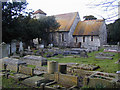
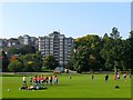
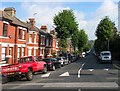
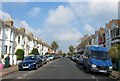
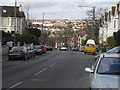
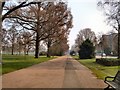
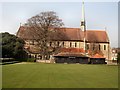
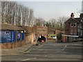
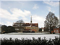
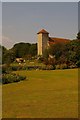
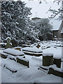
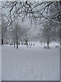
100 photos from this area
Area Information
Key information about the BN1 5AP including its size, population, and administrative classification.
- Area Type
- Postcode
- Area Size
- 4526 m²
- Population
- 1707
- Population Density
- 11962 people/km²
House Prices in BN1 5AP
53
Properties
£203,270
Average Sold Price
£29,500
Lowest Price
£440,000
Highest Price
Showing 53 properties
| Address | Type | Beds | Baths | Last Sale Price | Last Sale Date | |
|---|---|---|---|---|---|---|
| 31A Inwood Crescent, Brighton, BN1 5AP | Flat | - | - | £425,000 | Oct 2024 | |
| 41 Inwood Crescent, Brighton, BN1 5AP | Flat | 1 | 1 | £295,000 | Dec 2022 | |
| 21A Inwood Crescent, Brighton, BN1 5AP | Maisonette | 2 | 1 | £440,000 | Dec 2022 | |
| 39 Inwood Crescent, Brighton, BN1 5AP | Flat | - | - | £268,000 | Nov 2019 | |
| 35A Inwood Crescent, Brighton, BN1 5AP | Maisonette | - | - | £300,000 | Aug 2018 | |
| 39A Inwood Crescent, Brighton, BN1 5AP | Flat | - | - | £267,000 | Jan 2018 | |
| 19A Inwood Crescent, Brighton, BN1 5AP | Flat | 2 | - | £317,000 | Nov 2015 | |
| 5A Inwood Crescent, Brighton, BN1 5AP | Flat | 1 | 1 | £256,500 | Oct 2015 | |
| 13A Inwood Crescent, Brighton, BN1 5AP | Maisonette | 2 | - | £239,000 | Dec 2013 | |
| 33A Inwood Crescent, Brighton, BN1 5AP | Terraced | 2 | 1 | £244,250 | Mar 2012 |
Page 1 of 6
Energy Efficiency in BN1 5AP
Amenities
Schools
| Rank | School | Type | Entry gender | Ages |
|---|
Explore more schools in this area
Go to Schools tabDemographics
Household Size
Family (3-5 people)
most common
Accommodation Type
Houses
most common
Tenure
67
majority
Ethnic Group
White
most common
Religion
N/A
most common
Household Composition
N/A
most common
Age
47
median
Adults (30-64 years)
most common
Household Deprivation
N/A
with no deprivation
NS-SEC
54
in Lower managerial occupations
Explore more demographic insights in this area
Go to Demographics tabPlanning
Planning Constraints
- Flood RiskPremium
- Ramsar Wetland SitesPremium
- Area of Outstanding Natural BeautyPremium
- Protected Nature ReservePremium
- Protected WoodlandPremium