Area Overview for BN1 3HF
Photos of BN1 3HF
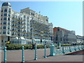
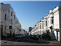
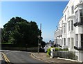
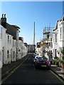
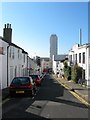
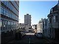
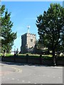
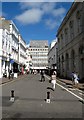
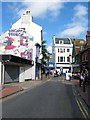
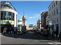
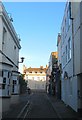
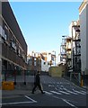
100 photos from this area
Area Information
Key information about the BN1 3HF including its size, population, and administrative classification.
- Area Type
- Postcode
- Area Size
- 4887 m²
- Population
- 1765
- Population Density
- 18252 people/km²
House Prices in BN1 3HF
67
Properties
£784,097
Average Sold Price
£145,000
Lowest Price
£1,180,000
Highest Price
Showing 67 properties
| Address | Type | Beds | Baths | Last Sale Price | Last Sale Date | |
|---|---|---|---|---|---|---|
| 3 Powis Grove, Brighton, BN1 3HF | residential_space | - | - | £950,000 | May 2024 | |
| 3A Powis Grove, Brighton, BN1 3HF | house | - | - | £955,000 | Jun 2021 | |
| 1B Powis Grove, Brighton, BN1 3HF | Flat | 2 | 3 | £780,000 | Mar 2017 | |
| 5A Powis Grove, Brighton, BN1 3HF | Semi-detached | 3 | 3 | £1,180,000 | Apr 2016 | |
| 5B Powis Grove, Brighton, BN1 3HF | Semi-detached | 3 | - | £1,180,000 | May 2014 | |
| 10 Powis Grove, Brighton, BN1 3HF | house | 4 | - | £945,967 | Apr 2012 | |
| 4 Powis Grove, Brighton, BN1 3HF | house | - | - | £920,000 | Sep 2011 | |
| 2 Powis Grove, Brighton, BN1 3HF | Flat | 1 | 1 | £500,000 | Jul 2009 | |
| 1 Powis Grove, Brighton, BN1 3HF | house | - | - | £285,000 | Dec 1998 | |
| 1A Powis Grove, Brighton, BN1 3HF | Detached | - | - | £145,000 | Mar 1998 |
Page 1 of 7
Energy Efficiency in BN1 3HF
Amenities
Schools
| Rank | School | Type | Entry gender | Ages |
|---|
Explore more schools in this area
Go to Schools tabDemographics
Household Size
One person
most common
Accommodation Type
Flats
most common
Tenure
38
majority
Ethnic Group
White
most common
Religion
N/A
most common
Household Composition
N/A
most common
Age
47
median
Adults (30-64 years)
most common
Household Deprivation
N/A
with no deprivation
NS-SEC
51
in Lower managerial occupations
Explore more demographic insights in this area
Go to Demographics tabPlanning
Planning Constraints
- Flood RiskPremium
- Ramsar Wetland SitesPremium
- Area of Outstanding Natural BeautyPremium
- Protected Nature ReservePremium
- Protected WoodlandPremium