Area Overview for BN1 3DJ
Photos of BN1 3DJ
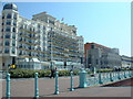
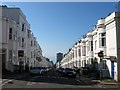
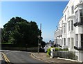
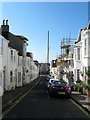
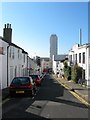
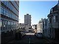
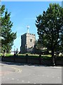
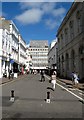
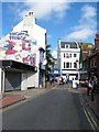
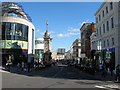
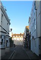
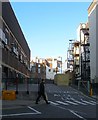
100 photos from this area
Area Information
Key information about the BN1 3DJ including its size, population, and administrative classification.
- Area Type
- Postcode
- Area Size
- 3008 m²
- Population
- 1545
- Population Density
- 13482 people/km²
House Prices in BN1 3DJ
56
Properties
£566,900
Average Sold Price
£93,000
Lowest Price
£1,090,000
Highest Price
Showing 56 properties
| Address | Type | Beds | Baths | Last Sale Price | Last Sale Date | |
|---|---|---|---|---|---|---|
| 19 Montpelier Street, Brighton, BN1 3DJ | Detached | 4 | 3 | £1,090,000 | Feb 2024 | |
| 14A Montpelier Street, Brighton, BN1 3DJ | Flat | - | - | £225,000 | Mar 2021 | |
| 5 Montpelier Street, Brighton, BN1 3DJ | Terraced | 4 | 1 | £928,000 | Jan 2021 | |
| 6 Montpelier Street, Brighton, BN1 3DJ | Flat | 2 | 1 | £950,000 | Nov 2018 | |
| 18B Montpelier Street, Brighton, BN1 3DJ | Flat | - | - | £340,000 | Aug 2018 | |
| 4 Montpelier Street, Brighton, BN1 3DJ | Terraced | 3 | 1 | £664,000 | Jul 2015 | |
| 1 Montpelier Street, Brighton, BN1 3DJ | house | - | - | £530,000 | Jun 2010 | |
| 21 Montpelier Street, Brighton, BN1 3DJ | house | - | - | £561,000 | Nov 2009 | |
| 22 Montpelier Street, Brighton, BN1 3DJ | Flat | 2 | 1 | £288,000 | Oct 2000 | |
| 2 Montpelier Street, Brighton, BN1 3DJ | Detached | - | - | £93,000 | Dec 1996 |
Page 1 of 6
Energy Efficiency in BN1 3DJ
Amenities
Schools
| Rank | School | Type | Entry gender | Ages |
|---|
Explore more schools in this area
Go to Schools tabDemographics
Household Size
One person
most common
Accommodation Type
Flats
most common
Tenure
47
majority
Ethnic Group
White
most common
Religion
N/A
most common
Household Composition
N/A
most common
Age
47
median
Adults (30-64 years)
most common
Household Deprivation
N/A
with no deprivation
NS-SEC
54
in Lower managerial occupations
Explore more demographic insights in this area
Go to Demographics tabPlanning
Planning Constraints
- Flood RiskPremium
- Ramsar Wetland SitesPremium
- Area of Outstanding Natural BeautyPremium
- Protected Nature ReservePremium
- Protected WoodlandPremium