Area Overview for BN1 3AA
Photos of BN1 3AA
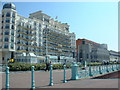
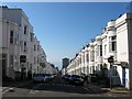
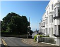
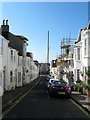
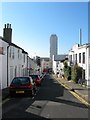
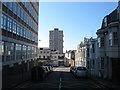
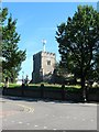
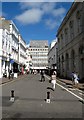
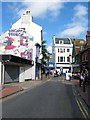
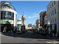
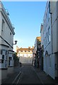
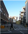
100 photos from this area
Area Information
Key information about the BN1 3AA including its size, population, and administrative classification.
- Area Type
- Postcode
- Area Size
- 3613 m²
- Population
- 1614
- Population Density
- 10100 people/km²
House Prices in BN1 3AA
58
Properties
£729,167
Average Sold Price
£170,000
Lowest Price
£1,325,000
Highest Price
Showing 58 properties
| Address | Type | Beds | Baths | Last Sale Price | Last Sale Date | |
|---|---|---|---|---|---|---|
| 21 Norfolk Road, Brighton, BN1 3AA | Semi-detached | 3 | 2 | £1,010,000 | Jul 2023 | |
| 26 Norfolk Road, Brighton, BN1 3AA | Retail | 4 | 2 | £825,000 | Mar 2023 | |
| 22 Norfolk Road, Brighton, BN1 3AA | house | - | - | £1,325,000 | Aug 2022 | |
| 20 Norfolk Road, Brighton, BN1 3AA | house | - | - | £740,000 | Apr 2021 | |
| Second Floor Flat, 12 Norfolk Road, Brighton, BN1 3AA | Flat | - | - | £170,000 | Aug 2015 | |
| 24 Norfolk Road, Brighton, BN1 3AA | Detached | - | - | £305,000 | Jan 2001 | |
| 19 Norfolk Road, Brighton, BN1 3AA | Terraced | 5 | 5 | - | - | |
| Flat 2, 11 Norfolk Road, Brighton, BN1 3AA | Flat | 1 | 1 | - | - | |
| 15 Norfolk Road, Brighton, BN1 3AA | Terraced | 4 | 2 | - | - | |
| 10 Norfolk Road, Brighton, BN1 3AA | Terraced | 3 | 2 | - | - |
Page 1 of 6
Energy Efficiency in BN1 3AA
Amenities
Schools
| Rank | School | Type | Entry gender | Ages |
|---|
Explore more schools in this area
Go to Schools tabDemographics
Household Size
One person
most common
Accommodation Type
Flats
most common
Tenure
37
majority
Ethnic Group
White
most common
Religion
N/A
most common
Household Composition
N/A
most common
Age
47
median
Adults (30-64 years)
most common
Household Deprivation
N/A
with no deprivation
NS-SEC
48
in Lower managerial occupations
Explore more demographic insights in this area
Go to Demographics tabPlanning
Planning Constraints
- Flood RiskPremium
- Ramsar Wetland SitesPremium
- Area of Outstanding Natural BeautyPremium
- Protected Nature ReservePremium
- Protected WoodlandPremium