Area Overview for BH25 7PN
Photos of BH25 7PN
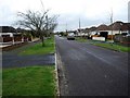
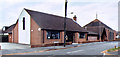
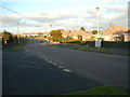
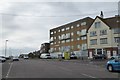

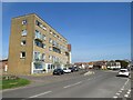
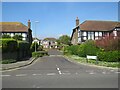
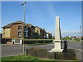
50 photos from this area
Area Information
Key information about the BH25 7PN including its size, population, and administrative classification.
- Area Type
- Postcode
- Area Size
- 3796 m²
- Population
- Not available
- Population Density
- Not available
House Prices in BH25 7PN
6
Properties
£311,800
Average Sold Price
£161,000
Lowest Price
£435,000
Highest Price
Showing 6 properties
| Address | Type | Beds | Baths | Last Sale Price | Last Sale Date | |
|---|---|---|---|---|---|---|
| 38 Barton Lane, Barton On Sea, BH25 7PN | Bungalow | 4 | 2 | £435,000 | Feb 2018 | |
| 34 Barton Lane, Barton On Sea, BH25 7PN | Semi-detached | 4 | 2 | £385,000 | Dec 2017 | |
| 32A Barton Lane, Barton On Sea, BH25 7PN | house | 3 | - | £328,000 | Jul 2015 | |
| 40 Barton Lane, Barton On Sea, BH25 7PN | Bungalow | 4 | 2 | £250,000 | Jul 2003 | |
| 36 Barton Lane, Barton On Sea, BH25 7PN | Detached | - | - | £161,000 | Nov 2000 | |
| Windyridge Nursing Home, 32 Barton Lane, Barton On Sea, BH25 7PN | hospital_care_home | - | - | - | - |
Energy Efficiency in BH25 7PN
Amenities
Schools
| Rank | School | Type | Entry gender | Ages |
|---|
Explore more schools in this area
Go to Schools tabDemographics
Household Size
Two person
most common
Accommodation Type
Houses
most common
Tenure
91
majority
Ethnic Group
White
most common
Religion
N/A
most common
Household Composition
N/A
most common
Age
47
median
Elderly (65+ years)
most common
Household Deprivation
N/A
with no deprivation
NS-SEC
35
in Lower managerial occupations
Explore more demographic insights in this area
Go to Demographics tabPlanning
Planning Constraints
- Flood RiskPremium
- Ramsar Wetland SitesPremium
- Area of Outstanding Natural BeautyPremium
- Protected Nature ReservePremium
- Protected WoodlandPremium