Area Overview for BH25 7HG
Photos of BH25 7HG
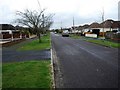
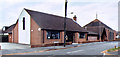
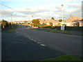
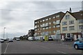
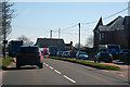
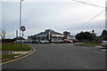

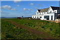
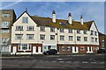
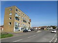
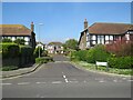
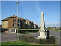
50 photos from this area
Area Information
Key information about the BH25 7HG including its size, population, and administrative classification.
- Area Type
- Postcode
- Area Size
- 2.1 hectares
- Population
- Not available
- Population Density
- Not available
House Prices in BH25 7HG
37
Properties
£574,958
Average Sold Price
£193,000
Lowest Price
£1,000,000
Highest Price
Showing 37 properties
| Address | Type | Beds | Baths | Last Sale Price | Last Sale Date | |
|---|---|---|---|---|---|---|
| 36 Barton Court Avenue, Barton On Sea, BH25 7HG | Detached | 4 | 2 | £680,000 | Jun 2025 | |
| 46 Barton Court Avenue, Barton On Sea, BH25 7HG | Detached | 5 | 3 | £795,000 | Jan 2025 | |
| Chalfonts, 52 Barton Court Avenue, Barton On Sea, BH25 7HG | Detached | 3 | - | £1,000,000 | Sep 2022 | |
| 50 Barton Court Avenue, Barton On Sea, BH25 7HG | Detached | 5 | - | £655,000 | Oct 2016 | |
| 38 Barton Court Avenue, Barton On Sea, BH25 7HG | Detached | 5 | 1 | £642,000 | Aug 2016 | |
| 38A Barton Court Avenue, Barton On Sea, BH25 7HG | Detached | 4 | 1 | £585,000 | Aug 2016 | |
| 40A Barton Court Avenue, Barton On Sea, BH25 7HG | Bungalow | 4 | 3 | £547,000 | Jun 2016 | |
| 56 Barton Court Avenue, Barton On Sea, BH25 7HG | Semi-detached | 4 | 3 | £487,500 | Sep 2015 | |
| 42 Barton Court Avenue, Barton On Sea, BH25 7HG | Detached | 6 | 4 | £550,000 | Aug 2012 | |
| 44 Barton Court Avenue, Barton On Sea, BH25 7HG | Detached | - | - | £300,000 | Nov 2009 |
Page 1 of 4
Energy Efficiency in BH25 7HG
Amenities
Schools
| Rank | School | Type | Entry gender | Ages |
|---|
Explore more schools in this area
Go to Schools tabDemographics
Household Size
Two person
most common
Accommodation Type
Houses
most common
Tenure
80
majority
Ethnic Group
White
most common
Religion
N/A
most common
Household Composition
N/A
most common
Age
47
median
Elderly (65+ years)
most common
Household Deprivation
N/A
with no deprivation
NS-SEC
38
in Lower managerial occupations
Explore more demographic insights in this area
Go to Demographics tabPlanning
Planning Constraints
- Flood RiskPremium
- Ramsar Wetland SitesPremium
- Area of Outstanding Natural BeautyPremium
- Protected Nature ReservePremium
- Protected WoodlandPremium