Area Overview for BH25 7BY
Photos of BH25 7BY
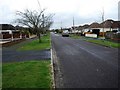
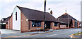
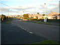
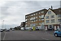
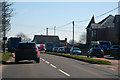
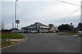

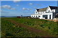
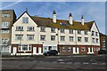
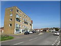
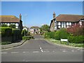
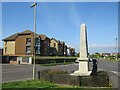
50 photos from this area
Area Information
Key information about the BH25 7BY including its size, population, and administrative classification.
- Area Type
- Postcode
- Area Size
- 4974 m²
- Population
- 1883
- Population Density
- 378544 people/km²
House Prices in BH25 7BY
7
Properties
£460,167
Average Sold Price
£249,999
Lowest Price
£610,000
Highest Price
Showing 7 properties
| Address | Type | Beds | Baths | Last Sale Price | Last Sale Date | |
|---|---|---|---|---|---|---|
| 5 Woodlawn Close, Barton On Sea, BH25 7BY | Bungalow | 3 | 1 | £610,000 | Sep 2022 | |
| 2 Woodlawn Close, Barton On Sea, BH25 7BY | Bungalow | - | - | £511,500 | Mar 2021 | |
| 6 Woodlawn Close, Barton On Sea, BH25 7BY | Bungalow | - | - | £580,000 | Dec 2020 | |
| 1 Woodlawn Close, Barton On Sea, BH25 7BY | Bungalow | 2 | 1 | £362,500 | Nov 2016 | |
| 4 Woodlawn Close, Barton On Sea, BH25 7BY | Bungalow | 4 | 3 | £447,000 | Feb 2015 | |
| 7 Woodlawn Close, Barton On Sea, BH25 7BY | Detached | - | - | £249,999 | Dec 2002 | |
| Dolphins, 3 Woodlawn Close, Barton On Sea, BH25 7BY | Detached | - | - | - | - |
Energy Efficiency in BH25 7BY
Amenities
Schools
| Rank | School | Type | Entry gender | Ages |
|---|
Explore more schools in this area
Go to Schools tabDemographics
Household Size
Two person
most common
Accommodation Type
Houses
most common
Tenure
95
majority
Ethnic Group
White
most common
Religion
N/A
most common
Household Composition
N/A
most common
Age
70
median
Elderly (65+ years)
most common
Household Deprivation
N/A
with no deprivation
NS-SEC
38
in Lower managerial occupations
Explore more demographic insights in this area
Go to Demographics tabPlanning
Planning Constraints
- Flood RiskPremium
- Ramsar Wetland SitesPremium
- Area of Outstanding Natural BeautyPremium
- Protected Nature ReservePremium
- Protected WoodlandPremium