Area Overview for BH25 6DP
Photos of BH25 6DP
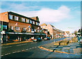
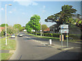
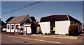
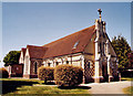
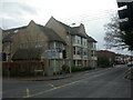
64 photos from this area
Area Information
Key information about the BH25 6DP including its size, population, and administrative classification.
- Area Type
- Postcode
- Area Size
- 4117 m²
- Population
- Not available
- Population Density
- Not available
House Prices in BH25 6DP
8
Properties
£304,940
Average Sold Price
£123,000
Lowest Price
£473,700
Highest Price
Showing 8 properties
| Address | Type | Beds | Baths | Last Sale Price | Last Sale Date | |
|---|---|---|---|---|---|---|
| 117 Old Milton Road, New Milton, BH25 6DP | Maisonette | 3 | 1 | £138,000 | Sep 2021 | |
| 137 Old Milton Road, New Milton, BH25 6DP | Bungalow | 3 | - | £400,000 | Feb 2021 | |
| 135 Old Milton Road, New Milton, BH25 6DP | Bungalow | 4 | 3 | £390,000 | Mar 2019 | |
| 129 Old Milton Road, New Milton, BH25 6DP | Maisonette | - | - | £473,700 | May 2007 | |
| 125 Old Milton Road, New Milton, BH25 6DP | Flat | - | - | £123,000 | Oct 2003 | |
| 121 Old Milton Road, New Milton, BH25 6DP | Flat | - | - | - | - | |
| 113 Old Milton Road, New Milton, BH25 6DP | Flat | - | - | - | - | |
| The Flat Above, 131-133 Old Milton Road, New Milton, BH25 6DP | Flat | 3 | 1 | - | - |
Energy Efficiency in BH25 6DP
Amenities
Schools
| Rank | School | Type | Entry gender | Ages |
|---|
Explore more schools in this area
Go to Schools tabDemographics
Household Size
Two person
most common
Accommodation Type
Houses
most common
Tenure
74
majority
Ethnic Group
White
most common
Religion
N/A
most common
Household Composition
N/A
most common
Age
47
median
Elderly (65+ years)
most common
Household Deprivation
N/A
with no deprivation
NS-SEC
28
in Lower managerial occupations
Explore more demographic insights in this area
Go to Demographics tabPlanning
Planning Constraints
- Flood RiskPremium
- Ramsar Wetland SitesPremium
- Area of Outstanding Natural BeautyPremium
- Protected Nature ReservePremium
- Protected WoodlandPremium