Area Overview for BH25 5QF
Photos of BH25 5QF
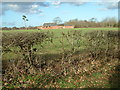


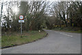
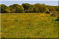

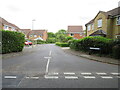
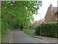
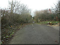
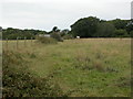


22 photos from this area
Area Information
Key information about the BH25 5QF including its size, population, and administrative classification.
- Area Type
- Postcode
- Area Size
- 24.0 hectares
- Population
- Not available
- Population Density
- Not available
House Prices in BH25 5QF
28
Properties
£254,595
Average Sold Price
£87,550
Lowest Price
£660,000
Highest Price
Showing 28 properties
| Address | Type | Beds | Baths | Last Sale Price | Last Sale Date | |
|---|---|---|---|---|---|---|
| Rogate, 53 Lower Ashley Road, Ashley, New Milton, BH25 5QF | Bungalow | 4 | 2 | £660,000 | Mar 2025 | |
| 67 Lower Ashley Road, Ashley, New Milton, BH25 5QF | Semi-detached | 3 | - | £215,000 | Apr 2013 | |
| 59 Lower Ashley Road, Ashley, New Milton, BH25 5QF | Semi-detached | - | - | £257,000 | Jul 2006 | |
| 53A Lower Ashley Road, Ashley, New Milton, BH25 5QF | Detached | - | - | £245,000 | May 2006 | |
| Peters Farm, 101 Lower Ashley Road, Ashley, New Milton, BH25 5QF | Detached | - | - | £275,000 | Apr 2003 | |
| 61 Lower Ashley Road, Ashley, New Milton, BH25 5QF | Detached | - | - | £241,000 | Nov 2002 | |
| 55B Lower Ashley Road, Ashley, New Milton, BH25 5QF | Bungalow | - | - | £285,000 | Oct 2002 | |
| Stepping Stones, 55 Lower Ashley Road, Ashley, New Milton, BH25 5QF | Cottage | 3 | - | £285,000 | Oct 2002 | |
| 69 Lower Ashley Road, Ashley, New Milton, BH25 5QF | house | - | - | £100,000 | Sep 1999 | |
| 57 Lower Ashley Road, Ashley, New Milton, BH25 5QF | house | 3 | 2 | £150,000 | Aug 1999 |
Page 1 of 3
Energy Efficiency in BH25 5QF
Amenities
Schools
| Rank | School | Type | Entry gender | Ages |
|---|
Explore more schools in this area
Go to Schools tabDemographics
Household Size
Two person
most common
Accommodation Type
Houses
most common
Tenure
56
majority
Ethnic Group
White
most common
Religion
N/A
most common
Household Composition
N/A
most common
Age
47
median
Adults (30-64 years)
most common
Household Deprivation
N/A
with no deprivation
NS-SEC
25
in Lower managerial occupations
Explore more demographic insights in this area
Go to Demographics tabPlanning
Planning Constraints
- Flood RiskPremium
- Ramsar Wetland SitesPremium
- Area of Outstanding Natural BeautyPremium
- Protected Nature ReservePremium
- Protected WoodlandPremium