Area Overview for BH25 5PR
Photos of BH25 5PR
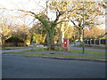
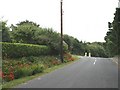
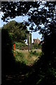
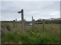
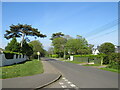
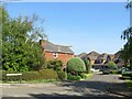
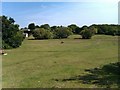
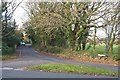
35 photos from this area
Area Information
Key information about the BH25 5PR including its size, population, and administrative classification.
- Area Type
- Postcode
- Area Size
- 7.5 hectares
- Population
- 2016
- Population Density
- 441 people/km²
House Prices in BH25 5PR
35
Properties
£1,387,038
Average Sold Price
£202,000
Lowest Price
£2,900,000
Highest Price
Showing 35 properties
| Address | Type | Beds | Baths | Last Sale Price | Last Sale Date | |
|---|---|---|---|---|---|---|
| Bella Vista, Barton Common Road, Barton On Sea, BH25 5PR | Detached | 2 | 2 | £2,700,000 | Jul 2023 | |
| Deepdene, Barton Common Road, Barton On Sea, BH25 5PR | Detached | 6 | 5 | £1,600,000 | Jun 2023 | |
| 6, Strollers Reach, 6 Barton Common Road, Barton On Sea, BH25 5PR | Flat | 2 | 2 | £697,000 | May 2022 | |
| Robin Green, Barton Common Road, Barton On Sea, BH25 5PR | Retail | 4 | 1 | £1,100,000 | Feb 2022 | |
| Perhaver, Barton Common Road, Barton On Sea, BH25 5PR | house | - | - | £1,475,000 | Jan 2022 | |
| Hazelwood, Barton Common Road, Barton On Sea, BH25 5PR | Terraced | 4 | 4 | £785,000 | Sep 2021 | |
| Wildwood, Barton Common Road, Barton On Sea, BH25 5PR | house | 5 | - | £1,500,000 | Sep 2021 | |
| Wight House, 4 Barton Common Road, Barton On Sea, BH25 5PR | Detached | 4 | 5 | £1,610,000 | Jul 2018 | |
| Wessex Court, Barton Common Road, Barton On Sea, BH25 5PR | Bungalow | 3 | 2 | £687,500 | May 2018 | |
| Barton Lodge Care Home, Barton Common Road, Barton On Sea, BH25 5PR | Bungalow | 3 | - | £2,900,000 | Jan 2018 |
Page 1 of 4
Energy Efficiency in BH25 5PR
Amenities
Schools
| Rank | School | Type | Entry gender | Ages |
|---|
Explore more schools in this area
Go to Schools tabDemographics
Household Size
Two person
most common
Accommodation Type
Houses
most common
Tenure
88
majority
Ethnic Group
White
most common
Religion
N/A
most common
Household Composition
N/A
most common
Age
70
median
Elderly (65+ years)
most common
Household Deprivation
N/A
with no deprivation
NS-SEC
41
in Lower managerial occupations
Explore more demographic insights in this area
Go to Demographics tabPlanning
Planning Constraints
- Flood RiskPremium
- Ramsar Wetland SitesPremium
- Area of Outstanding Natural BeautyPremium
- Protected Nature ReservePremium
- Protected WoodlandPremium