Area Overview for BH24 4AP
Photos of BH24 4AP
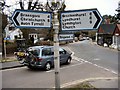
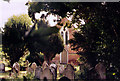
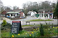
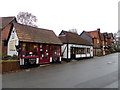
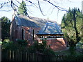
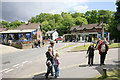
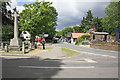
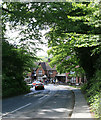
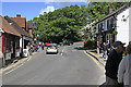
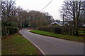
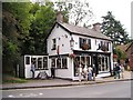
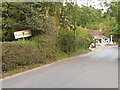
100 photos from this area
Area Information
Key information about the BH24 4AP including its size, population, and administrative classification.
- Area Type
- Postcode
- Area Size
- 11.4 hectares
- Population
- 1298
- Population Density
- 29 people/km²
House Prices in BH24 4AP
8
Properties
£716,250
Average Sold Price
£650,000
Lowest Price
£775,000
Highest Price
Showing 8 properties
| Address | Type | Beds | Baths | Last Sale Price | Last Sale Date | |
|---|---|---|---|---|---|---|
| Beechwood Cottage, Church Lane, Burley, BH24 4AP | Detached | 4 | 2 | £775,000 | Dec 2018 | |
| Lavender Cottage, Church Lane, Burley, BH24 4AP | Detached | 3 | 1 | £710,000 | Mar 2016 | |
| The Hollies, Church Lane, Burley, BH24 4AP | house | - | - | £730,000 | Sep 2010 | |
| Merry Gardens, Church Lane, Burley, BH24 4AP | Detached | - | - | £650,000 | Nov 1998 | |
| Burley Cricket Club, Burley Cricket Ground, Cott Lane, Burley, BH24 4AP | Leisure | - | - | - | - | |
| Graveyard, St John The Baptists Church, Church Lane, Burley, BH24 4AP | commercial | - | - | - | - | |
| School House, Church Lane, Burley, BH24 4AP | Detached | - | - | - | - | |
| The Vicarage, Church Lane, Burley, BH24 4AP | house | - | - | - | - |
Energy Efficiency in BH24 4AP
Amenities
Schools
| Rank | School | Type | Entry gender | Ages |
|---|
Explore more schools in this area
Go to Schools tabDemographics
Household Size
Two person
most common
Accommodation Type
Houses
most common
Tenure
77
majority
Ethnic Group
White
most common
Religion
N/A
most common
Household Composition
N/A
most common
Age
47
median
Adults (30-64 years)
most common
Household Deprivation
N/A
with no deprivation
NS-SEC
45
in Lower managerial occupations
Explore more demographic insights in this area
Go to Demographics tabPlanning
Planning Constraints
- Flood RiskPremium
- Ramsar Wetland SitesPremium
- Area of Outstanding Natural BeautyPremium
- Protected Nature ReservePremium
- Protected WoodlandPremium