Area Overview for BH24 1RL
Photos of BH24 1RL
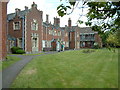
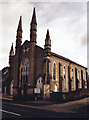
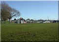
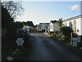
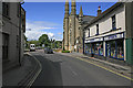
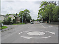

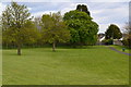
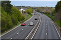
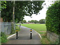
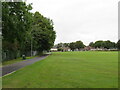
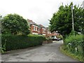
42 photos from this area
Area Information
Key information about the BH24 1RL including its size, population, and administrative classification.
- Area Type
- Postcode
- Area Size
- 1.6 hectares
- Population
- 1710
- Population Density
- 880 people/km²
House Prices in BH24 1RL
18
Properties
£499,729
Average Sold Price
£190,000
Lowest Price
£795,000
Highest Price
Showing 18 properties
| Address | Type | Beds | Baths | Last Sale Price | Last Sale Date | |
|---|---|---|---|---|---|---|
| 26 Highfield Drive, Ringwood, BH24 1RL | Detached | 5 | 3 | £725,000 | Nov 2025 | |
| 10 Highfield Drive, Ringwood, BH24 1RL | Chalet | 5 | 2 | £710,000 | Aug 2023 | |
| 18 Highfield Drive, Ringwood, BH24 1RL | Detached | 5 | 4 | £795,000 | Apr 2022 | |
| 20 Highfield Drive, Ringwood, BH24 1RL | Bungalow | - | - | £595,000 | Apr 2022 | |
| 22 Highfield Drive, Ringwood, BH24 1RL | Bungalow | - | - | £577,500 | Sep 2021 | |
| 32 Highfield Drive, Ringwood, BH24 1RL | Detached | 3 | 2 | £546,250 | Jul 2018 | |
| 28 Highfield Drive, Ringwood, BH24 1RL | Bungalow | 3 | 2 | £510,000 | Sep 2015 | |
| 8 Highfield Drive, Ringwood, BH24 1RL | Bungalow | 4 | - | £440,000 | Sep 2015 | |
| 16 Highfield Drive, Ringwood, BH24 1RL | Bungalow | 5 | - | £480,000 | Sep 2013 | |
| 30 Highfield Drive, Ringwood, BH24 1RL | Bungalow | - | - | £345,000 | Jul 2012 |
Page 1 of 2
Energy Efficiency in BH24 1RL
Amenities
Schools
| Rank | School | Type | Entry gender | Ages |
|---|
Explore more schools in this area
Go to Schools tabDemographics
Household Size
Two person
most common
Accommodation Type
Houses
most common
Tenure
84
majority
Ethnic Group
White
most common
Religion
N/A
most common
Household Composition
N/A
most common
Age
47
median
Adults (30-64 years)
most common
Household Deprivation
N/A
with no deprivation
NS-SEC
38
in Lower managerial occupations
Explore more demographic insights in this area
Go to Demographics tabPlanning
Planning Constraints
- Flood RiskPremium
- Ramsar Wetland SitesPremium
- Area of Outstanding Natural BeautyPremium
- Protected Nature ReservePremium
- Protected WoodlandPremium