Area Overview for BH23 8DX
Photos of BH23 8DX
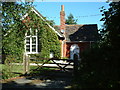
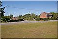
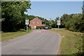
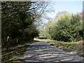
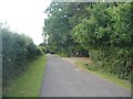
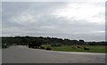
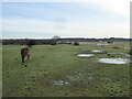
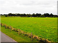
39 photos from this area
Area Information
Key information about the BH23 8DX including its size, population, and administrative classification.
- Area Type
- Postcode
- Area Size
- 5.2 hectares
- Population
- 1187
- Population Density
- 68 people/km²
House Prices in BH23 8DX
13
Properties
£261,125
Average Sold Price
£110,000
Lowest Price
£500,000
Highest Price
Showing 13 properties
| Address | Type | Beds | Baths | Last Sale Price | Last Sale Date | |
|---|---|---|---|---|---|---|
| Four Winds, Valley Lane, Thorney Hill, Bransgore, BH23 8DX | Bungalow | - | - | £500,000 | Jan 2018 | |
| Glenacre, Valley Lane, Thorney Hill, Bransgore, BH23 8DX | Cottage | 3 | - | £435,000 | Feb 2009 | |
| Calverthorpe, Valley Lane, Thorney Hill, Bransgore, BH23 8DX | Land | - | - | £345,000 | Feb 2000 | |
| Withy Dell, Valley Lane, Thorney Hill, Bransgore, BH23 8DX | Detached | - | - | £180,000 | Nov 1999 | |
| Forest Way, Valley Lane, Thorney Hill, Bransgore, BH23 8DX | Detached | - | - | £250,000 | Nov 1999 | |
| Valley Cottage, Valley Lane, Thorney Hill, Bransgore, BH23 8DX | Detached | - | - | £110,000 | Aug 1998 | |
| Cheth House, Valley Lane, Thorney Hill, Bransgore, BH23 8DX | house | - | - | £143,000 | Jul 1997 | |
| Forest Dene, Valley Lane, Thorney Hill, Bransgore, BH23 8DX | Bungalow | - | - | £126,000 | Sep 1996 | |
| Woodbury, Valley Lane, Thorney Hill, Bransgore, BH23 8DX | Retail | 4 | 2 | - | - | |
| Annexe, Withy Dell, Valley Lane, Thorney Hill, Bransgore, BH23 8DX | Mobile Home | - | - | - | - |
Page 1 of 2
Energy Efficiency in BH23 8DX
Amenities
Schools
| Rank | School | Type | Entry gender | Ages |
|---|
Explore more schools in this area
Go to Schools tabDemographics
Household Size
Two person
most common
Accommodation Type
Houses
most common
Tenure
75
majority
Ethnic Group
White
most common
Religion
N/A
most common
Household Composition
N/A
most common
Age
47
median
Adults (30-64 years)
most common
Household Deprivation
N/A
with no deprivation
NS-SEC
40
in Lower managerial occupations
Explore more demographic insights in this area
Go to Demographics tabPlanning
Planning Constraints
- Flood RiskPremium
- Ramsar Wetland SitesPremium
- Area of Outstanding Natural BeautyPremium
- Protected Nature ReservePremium
- Protected WoodlandPremium