Area Overview for BH23 8BL
Photos of BH23 8BL
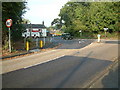
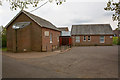
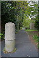
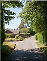
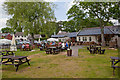
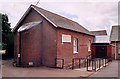
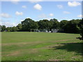
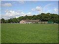
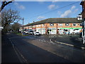
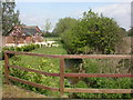
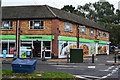
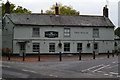
62 photos from this area
Area Information
Key information about the BH23 8BL including its size, population, and administrative classification.
- Area Type
- Postcode
- Area Size
- 1.6 hectares
- Population
- 1511
- Population Density
- 1900 people/km²
House Prices in BH23 8BL
14
Properties
£548,333
Average Sold Price
£206,000
Lowest Price
£905,000
Highest Price
Showing 14 properties
| Address | Type | Beds | Baths | Last Sale Price | Last Sale Date | |
|---|---|---|---|---|---|---|
| 1, Brunswick House, Hill Lane, Bransgore, BH23 8BL | house | - | - | £625,000 | Feb 2022 | |
| 2, Brunswick House, Hill Lane, Bransgore, BH23 8BL | house | - | - | £455,000 | Aug 2021 | |
| Ponies Reach, Hill Lane, Bransgore, BH23 8BL | Bungalow | 2 | 1 | £675,000 | Jun 2021 | |
| Hill House, Hill Lane, Bransgore, BH23 8BL | house | 5 | - | £850,000 | Jan 2018 | |
| Little Cottage, Hill Lane, Bransgore, BH23 8BL | Detached | - | - | £540,000 | Jul 2017 | |
| Peverel House, Hill Lane, Bransgore, BH23 8BL | Detached | 5 | - | £905,000 | Jul 2012 | |
| Stella, Hill Lane, Bransgore, BH23 8BL | Bungalow | 5 | - | £430,000 | Dec 2011 | |
| Three Seasons, Hill Lane, Bransgore, BH23 8BL | Detached | - | - | £249,000 | Jun 2003 | |
| Silver Dew, Hill Lane, Bransgore, BH23 8BL | Detached | - | - | £206,000 | Dec 2001 | |
| Forest Oak, Hill Lane, Bransgore, BH23 8BL | Chalet | 4 | - | - | - |
Page 1 of 2
Energy Efficiency in BH23 8BL
Amenities
Schools
| Rank | School | Type | Entry gender | Ages |
|---|
Explore more schools in this area
Go to Schools tabDemographics
Household Size
Two person
most common
Accommodation Type
Houses
most common
Tenure
88
majority
Ethnic Group
White
most common
Religion
N/A
most common
Household Composition
N/A
most common
Age
47
median
Adults (30-64 years)
most common
Household Deprivation
N/A
with no deprivation
NS-SEC
47
in Lower managerial occupations
Explore more demographic insights in this area
Go to Demographics tabPlanning
Planning Constraints
- Flood RiskPremium
- Ramsar Wetland SitesPremium
- Area of Outstanding Natural BeautyPremium
- Protected Nature ReservePremium
- Protected WoodlandPremium