Area Overview for Bexhill St. Stephens Ward
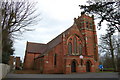
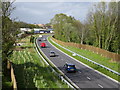
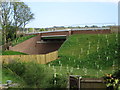
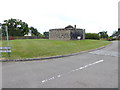
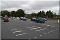
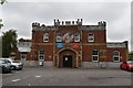
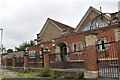
Photos of Bexhill St. Stephens Ward

Area Information
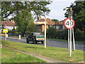
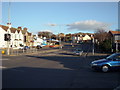
Bexhill St. Stephens Ward represents a highly compact residential district within the borough, covering just 1.6 km². This small geographic footprint means daily life revolves around a tightly knit community where amenities are naturally close at hand. Living in this ward offers the advantages of a neighbourhood that is distinct from the wider coastal town, characterised by a quiet, established residential atmosphere. You are stepping into an environment defined by specific planning constraints and a clear lack of industrial or heavy commercial intrusion. The area sits completely outside designated protected landscapes such as Areas of Outstanding Natural Beauty or Ramsar wetland sites, ensuring a straightforward planning context for those considering homes in Bexhill St. Stephens Ward. While the ward lacks large-scale natural reserves, it does contain pockets of protected woodland, which adds a touch of greenery to the local streetscape. This ward is not a commercial hub but rather a dedicated zone for residential living. The combination of its small size and specific environmental boundaries creates a setting where noise and heavy traffic are less likely to dominate your daily routine compared to larger municipal units.
- Area Type
- District Borough Unitary Ward
- Area Size
- 1.6 km²
- Population
- Not available
- Population Density
- Not available
Demographics
The community in Bexhill St. Stephens Ward has a distinctly mature character, with a median age of 70 years. This indicates that the local population is significantly older than the national average, creating a neighbourhood centred on retirement and later-life living rather than young families or students. The overwhelming majority of residents are home owners, with 78% of households holding title to their property. This high rate of ownership suggests financial stability among residents and a strong sense of attachment to their local neighbourhood. You will find that the majority of homes in Bexhill St. Stephens Ward are occupied by those who have spent decades establishing their lives in this specific ward. Household composition reflects this older demographic, though specific breakdowns are not detailed in the available statistics. Diversity data and religious affiliations are recorded at a total level, meaning the area contains a mix of backgrounds but is not dominated by a single group. For those considering schools near Bexhill St. Stephens Ward, the low median age implies limited primary school catchment demand within the ward specifically, as the local children likely belong to other generations or families who moved recently. The demographic profile points to a peaceful, settled community where neighbours have known each other for generations.
Household Size
Accommodation Type
Tenure
Ethnic Group
Religion
Household Composition
Age
Household Deprivation
NS-SEC
Explore more demographic insights in this area
Go to Demographics tabPlanning
Planning Constraints
- Flood RiskPremium
- Ramsar Wetland SitesPremium
- Area of Outstanding Natural BeautyPremium
- Protected Nature ReservePremium
- Protected WoodlandPremium
- Crime RiskPremium