Area Overview for Beedon
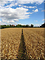
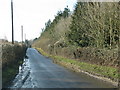
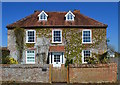
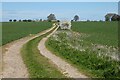
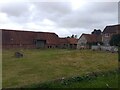
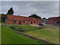
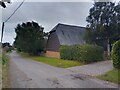
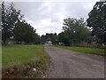
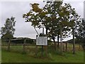
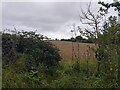
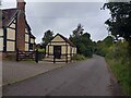
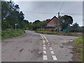
Photos of Beedon
Area Information
Beedon is a civil parish covering an area of 8.1 km², offering a very intimate setting for those seeking to live in Beedon. This small geographic footprint defines the scale of daily life here, where distance to local amenities is short. The area functions as a distinct parish, separate from the surrounding boroughs, yet connected by roads and digital infrastructure. A prospective homebuyer finds a environment that operates on a contained scale, where the boundary of the parish shapes the rhythm of the neighbourhood. You will notice that the size of the parish limits the sprawl, creating a dense local interaction within a clear 8.1 km² frame. This physical constraint often means services and green spaces are within immediate reach without the need for long commutes across larger administrative zones. Living in Beedon means accepting the boundaries of this specific civil parish while enjoying the proximity they afford. The area remains a defined entity, balancing rural characteristics with the practicalities of modern living within a small footprint.
- Area Type
- Parish
- Area Size
- 8.1 km²
- Population
- Not available
- Population Density
- Not available
Demographics
The community in Beedon reflects a settled population with a median age of 70 years. This figure indicates a demographic dominated by older residents, suggesting a quiet suburbia rather than a youthful district. Most people in Beedon fall into the total age range as recorded in the census data, reflecting the stability of the age profile. Home ownership stands at 65%, meaning the majority of households own their property outright or have a mortgage. This high level of ownership suggests financial stability among residents and a long-term commitment to the locality. You will find that most accommodation consists of owner-occupied homes, creating a sense of permanence within the parish. The household composition data shows a total mix, but the age median suggests fewer young families compared to newer out‑of‑town developments. While specific stats on ethnicity and religion are not detailed in the current records, the 65% home ownership rate points to a traditional area where families and retirees have established roots. Deprivation levels are not explicitly quantified in the provided figures, but the high ownership rate and older median age suggest a community with established rather than transient residents.
Household Size
Accommodation Type
Tenure
Ethnic Group
Religion
Household Composition
Age
Household Deprivation
NS-SEC
Explore more demographic insights in this area
Go to Demographics tabPlanning
Planning Constraints
- Flood RiskLocked
- Ramsar Wetland SitesLocked
- Area of Outstanding Natural BeautyLocked
- Protected Nature ReserveLocked
- Protected WoodlandLocked
- Crime RiskLocked