Area Overview for Barford St. John and St. Michael
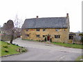
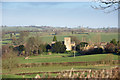
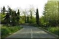
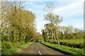
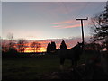
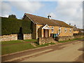
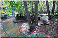
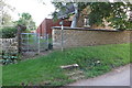
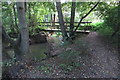
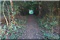
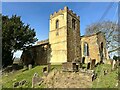
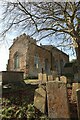
Photos of Barford St. John and St. Michael
Area Information
Barford St. John and St. Michael is a civil parish covering an area of 7.5 km² in England. This small community operates as a defined locality where daily life unfolds within a compact geographic setting. You will find a neighbourhood that functions independently, offering a specific sense of belonging tied to its parish boundaries. The location is established as a residential pocket rather than a sprawling urban sprawl. Living in Barford St. John and St. Michael means experiencing a contained environment where distances are short and the local character is well preserved. The parish structure provides a clear administrative identity that sets it apart from surrounding settlements. Residents here engage with a community defined by its size and local governance. You can move through the area knowing exactly how much space it covers, which aids in planning your commute or finding recreational spots. The distinct nature of the parish helps maintain a focused community identity without the chaos of larger towns. Understanding the scale of the 7.5 km² area is crucial for anyone considering their daily routine and access to services. This specific footprint supports a lifestyle where proximity to neighbours and local amenities remains a priority.
- Area Type
- Parish
- Area Size
- 7.5 km²
- Population
- Not available
- Population Density
- Not available
Demographics
The community in Barford St. John and St. Michael reflects a distinct life stage with a median age of 70 years. This figure indicates a population heavily weighted towards older residents compared to national averages. You are likely to encounter an area where many people have settled into retirement or are living through the final decades of life. The most common age range is recorded as 'Age: Total', which confirms that every age group contributes to the complete demographic picture, even if the median skews high. Home ownership stands at 87 per cent, marking a very high rate of residents owning their property outright. This level of ownership suggests long-term stability, with most households tied to the area rather than moving frequently. The accommodation type data is recorded as 'total', indicating that the classification covers all dwellings within the parish boundaries. Household composition is also noted as 'total', ensuring a comprehensive view of how families and individuals group together. You will find a neighbourhood where financial independence from mortgages is the norm for the vast majority of people. The high ownership rate means that renter shortages are unlikely to be a concern for your neighbours. This demographic profile creates a quiet, settled environment where community ties often run deep over many years.
Household Size
Accommodation Type
Tenure
Ethnic Group
Religion
Household Composition
Age
Household Deprivation
NS-SEC
Explore more demographic insights in this area
Go to Demographics tabPlanning
Planning Constraints
- Flood RiskPremium
- Ramsar Wetland SitesPremium
- Area of Outstanding Natural BeautyPremium
- Protected Nature ReservePremium
- Protected WoodlandPremium