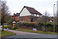
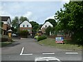
Area Overview for Badger Farm
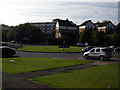
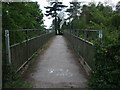
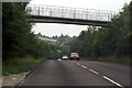
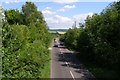
Photos of Badger Farm
Area Information
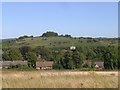
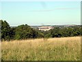
Badger Farm is a small civil parish covering 60.4 hectares of land. Living here means you have space for a quiet lifestyle without being isolated from the wider county. The area operates as a self-contained community where daily life revolves around local amenities defined by its specific boundaries. You will find a resident population characterised by long-term settlement patterns. This parish does not have a post town centre; instead, homes blend into the surrounding countryside. Your morning commute likely involves travelling to a nearby larger town or city because Badger Farm lacks a significant employment hub. The site size indicates a low-density environment suitable for those seeking property with land rather than urban density. When you consider living in Badger Farm, you are buying into a distinct sub-rural experience. The area functions as a traditional rural neighbourhood where the landscape defines the daily routine. You will appreciate the lack of planning constraints, meaning development follows a natural, low-impact path. This location appeals to individuals who want a settled life away from the noise of major conurbations. The parish structure ensures local governance remains focused on these specific 60.4 hectares of territory.
- Area Type
- Parish
- Area Size
- 60.4 hectares
- Population
- Not available
- Population Density
- Not available
Demographics
The community in Badger Farm displays a clear demographic skew towards older residents. You will encounter a population with a median age of 70 years. This figure defines the typical household composition and suggests a settled, mature neighbourhood. The majority of residents fall into older age brackets, meaning you will spend your days in an area populated by seniors. This age profile often correlates with specific housing needs and lifestyle preferences unique to this demographic. The area is not young; it is established. When you analyse the statistics, the data shows an average resident age that significantly exceeds national medians for younger families. This suggests a quiet atmosphere where the neighbours know each other well over decades. You should expect a community focused on stability rather than rapid turnover. The housing stock reflects this reality with features that suit an ageing population. Your neighbours are likely to be retirees or permanent residents who have been in the parish for a long time. The demographic data paints a picture of a traditional rural setting rather than a modern growth zone.
Household Size
Accommodation Type
Tenure
Ethnic Group
Religion
Household Composition
Age
Household Deprivation
NS-SEC
Explore more demographic insights in this area
Go to Demographics tabPlanning
Planning Constraints
- Flood RiskPremium
- Ramsar Wetland SitesPremium
- Area of Outstanding Natural BeautyPremium
- Protected Nature ReservePremium
- Protected WoodlandPremium