Area Overview for Arundel & Walberton Ward
Photos of Arundel & Walberton Ward
Area Information
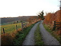
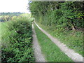
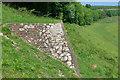
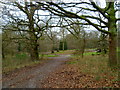
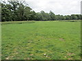
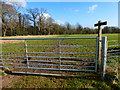
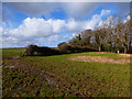
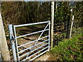
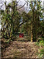
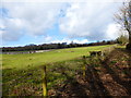
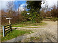
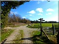
Arundel & Walberton Ward sits within the Arun District Council area of West Sussex, covering a total expanse of 85.5 square kilometres. You will find this ward blends small town life with village tranquility, centred on the historic market town of Arundel and the rural parish of Walberton. The ward operates as part of the broader South Downs National Park constituency, placing gentle agricultural land and gently sloping terrain at the foothills of the South Downs. This specific location lies approximately five miles north-west of Littlehampton, offering access to the coastal plain while remaining south of the vital A27 road. The population stands at 1,488 residents across this diverse landscape, creating a relatively quiet yet connected community. Life here moves at a slower pace than urban centres, yet the area retains strong links to regional transport routes. The mix of historic settlements and open countryside defines the daily rhythm for anyone choosing to make this ward their home. Whether you seek the proximity of Arundel's town facilities or the village atmosphere of Walberton, the local environment provides a distinct rural experience on the West Sussex Coastal Plain. This combination of natural beauty and established infrastructure forms the core of what living in Arundel & Walberton Ward entails for current and prospective residents alike.
- Area Type
- District Borough Unitary Ward
- Area Size
- 85.5 km²
- Population
- 1488
- Population Density
- 1110 people/km²
Demographics
The community in Arundel & Walberton Ward exhibits a significantly older population profile than the national average. The median age for residents is 70, indicating that the area serves primarily as a retirement destination or a home for established families who have stayed into their senior years. While the exact breakdown by age range is not specified beyond the total, this high median age fundamentally shapes local services and community dynamics. Nearly three-quarters of households, specifically 76%, are owner-occupied. This high level of home ownership suggests deep-rooted local ties and a community composed largely of long-term residents rather than transient tenants. The ward functions as a bedroom community with a stable demographic structure, lacking the rapid turnover typical of first-time buyer hotspots. The household composition reflects a society where ownership is the norm. This stability offers a predictable environment for newcomers seeking to integrate into an established locality. The demographic makeup points towards a quiet, settled neighbourhood where the majority of people have permanent stakes in their local streets. Understanding this age profile is crucial, as it influences local amenities, social events, and the general pace of life in the ward.
Household Size
Accommodation Type
Tenure
Ethnic Group
Religion
Household Composition
Age
Household Deprivation
NS-SEC
Explore more demographic insights in this area
Go to Demographics tabPlanning
Planning Constraints
- Flood RiskPremium
- Ramsar Wetland SitesPremium
- Area of Outstanding Natural BeautyPremium
- Protected Nature ReservePremium
- Protected WoodlandPremium